
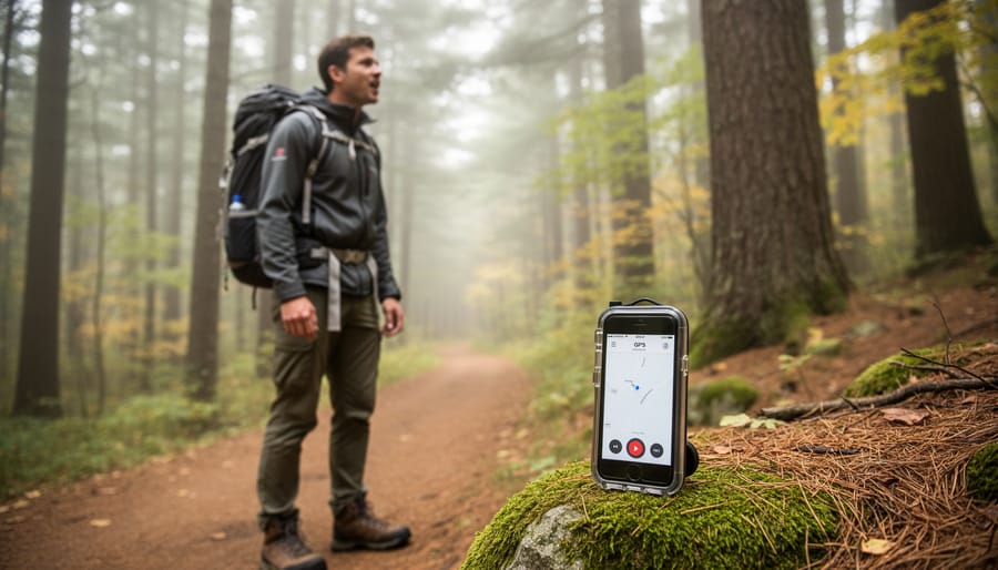
Voice-activated GPS lets you navigate hands-free by speaking commands to your device instead of typing or tapping, and setting it up takes less than five minutes on most smartphones and dedicated GPS units. For anyone heading into Ontario’s sprawling provincial parks, conservation areas, or backcountry trails, this technology means you can keep your eyes on the road and your hands on the wheel while still accessing turn-by-turn directions, waypoint markers, and location services.
The practical appeal is obvious. When you’re driving a dusty backroad toward a remote campsite with your gear piled high, or paddling between portages with your phone mounted in a waterproof case, fumbling with a touchscreen isn’t just inconvenient. It’s unsafe. Voice commands solve that problem instantly.
Modern voice-activated GPS technology has matured significantly over the past few years. The systems now recognize natural language surprisingly well, even in noisy environments like a car with the windows down or a canoe cutting through wind and waves. You can ask for the nearest trailhead, save your parking spot coordinates, or reroute around road closures without ever touching your device.
What makes voice activation particularly valuable for outdoor exploration in Ontario is the sheer size and remoteness of many destinations. Algonquin Park alone covers nearly 7,700 square kilometers. When you’re navigating between dispersed campsites or scouting new fishing spots, the ability to interact with your GPS while your hands stay free for steering, paddling, or carrying gear becomes more than convenient. It becomes essential.
Why Voice Activate GPS Changes Everything on the Trail
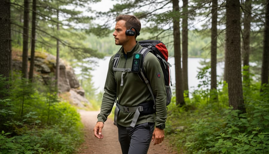
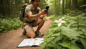
Last summer on the Frontenac Provincial Park loop, I watched a fellow hiker nearly drop her phone into a creek while trying to check her location with one hand and balance on slick rocks with the other. That moment crystallized why voice activate GPS has become essential for serious trail users.
The hands-free advantage goes beyond simple convenience. When you’re gripping trekking poles on a steep descent or carrying gear to your campsite, fumbling with a touchscreen isn’t just awkward, it’s risky. Voice commands let you request directions, check distances, or locate the nearest water source without breaking stride or compromising your balance on uneven terrain.
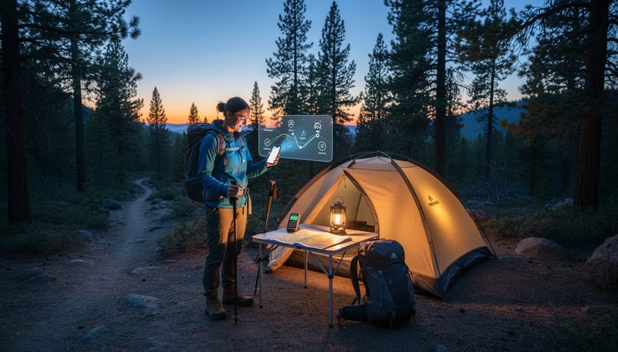
Setting up camp in fading light reveals another practical strength. Your hands stay busy pounding tent stakes, organizing gear, or starting a fire while voice navigation confirms you’re at the right coordinates or identifies nearby amenities. No squinting at screens, no greasy fingerprints on your device after handling firewood.
Safety improvements matter even more in Ontario’s backcountry. When weather turns harsh or you’re navigating technical sections, stopping to consult a map or phone creates vulnerability. A quick voice query keeps you moving and aware of your surroundings rather than staring down at a device.
The accessibility factor shouldn’t be overlooked either. Beginners intimidated by traditional map reading can ask straightforward questions and receive clear answers. Experienced navigators with vision challenges or limited dexterity gain independence they might otherwise lack. Voice activate GPS democratizes trail access, welcoming more people to Ontario’s stunning wilderness without demanding advanced orienteering skills or perfect weather conditions.
How Voice-Activated Interactive Travel Guides Work in Ontario Parks
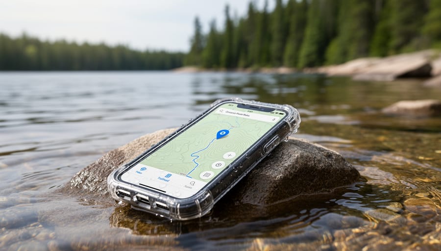
Voice activate GPS systems work by combining satellite positioning with speech recognition software that interprets your spoken commands and responds with audio directions. When you say “Navigate to the nearest campsite” or “How far to the trailhead,” the system processes your voice through built-in microphones, matches your request against its database, and delivers turn-by-turn guidance without you touching a screen. Modern AI guides for trails have evolved beyond simple directions, now offering rich contextual information about your surroundings as you explore.
In Ontario parks, these interactive travel guides tap into comprehensive databases that include trail networks, elevation changes, point-of-interest details, and real-time location tracking. The technology typically uses GPS satellites to pinpoint your position within a few meters, while the voice interface lets you query everything from “What’s that lake ahead” to “Find the shortest route to Slide Lake Loop” hands-free. Some advanced systems even incorporate 360 audio experience features that create spatial awareness through directional sound cues, making navigation more intuitive in dense forest settings.
At Frontenac, voice-activated guides can direct you through the 22-kilometer Slide Lake Loop while sharing details about historic mining sites, geological formations, and wildlife viewing spots along the way. The system continuously monitors your position against the trail route, automatically alerting you if you veer off course and suggesting corrective directions. In Algonquin Park’s vast backcountry, these tools prove invaluable for tracking portage distances, identifying unmarked campsites, and calculating arrival times at your planned destination based on your current pace and terrain ahead.
Setting Up Your Voice Activate GPS Before You Hit the Trails
Getting your voice-activated GPS ready before you leave civilization makes all the difference between a smooth backcountry experience and a frustrating tech nightmare. I learned this the hard way on a solo trip to Algonquin when my system failed two hours in because I skipped the prep work.
Start by downloading offline maps for your specific destination at least 24 hours before departure. Google Maps, Gaia GPS, and other navigation apps let you save detailed topographic maps that work without cell service. Download a larger area than you think you’ll need, I typically grab the entire park plus a 20-kilometer buffer zone around it.
Next, activate voice recognition and train your system to understand your voice in quiet indoor conditions first. Most devices improve accuracy when you complete voice training exercises. Speak naturally during setup, using the same volume and pace you’ll use on the trail.
Test your voice commands in various environments before leaving home. Try them while playing wind sounds through speakers, in your running car, and even in your shower, these simulate trail conditions surprisingly well. Practice essential commands like “navigate to nearest campsite” and “show trail map” until they feel automatic.
Battery management separates prepared adventurers from stranded ones. Enable battery saver mode, reduce screen brightness to minimum, and turn off unnecessary background apps. Invest in a portable power bank rated for at least two full phone charges. On multi-day trips, consider a solar charger as backup.
Finally, program emergency contacts and park ranger numbers into speed dial before you lose service. Voice-activated emergency calls only work if the numbers are already stored in your device.
Best Voice Commands for Ontario’s Backcountry
The right voice commands make the difference between fumbling with your phone on a windy ridgeline and smoothly navigating while your hands stay on your trekking poles. In Ontario’s backcountry, where you might be carrying gear, setting up a tent, or crossing a stream, effective voice commands keep you moving safely without breaking stride.
Start with basic navigation: “Navigate to nearest campsite,” “Show distance to next waypoint,” or “Find water source within one kilometre.” These commands work particularly well in parks like Algonquin and Killarney, where designated campsites and portages are mapped. When you’re three hours into a hike and need to know if you should push on or make camp, just ask “How far to Lake Louisa campsite?” rather than digging through your pack for your device.
| Command | Function | Best Used When |
|---|---|---|
| “Navigate to [campsite name]” | Direct route guidance | End of day, choosing destination |
| “Show nearby trails” | Lists connecting paths | Trail junctions, exploration |
| “Distance to next waypoint” | Confirms progress | Pace checking, planning breaks |
| “Find water source” | Locates streams, lakes | Running low, refill needed |
| “Emergency: nearest road” | Evacuation route | Injury, sudden weather |
For emergency situations, commands like “Navigate to nearest road access” or “Show route to park headquarters” can be critical. In Frontenac Provincial Park’s maze of interconnected loops, a clear voice command beats frantic map-checking when weather turns or someone gets hurt. Practice these commands on easier day hikes before relying on them during serious backcountry trips, and always verify the route makes sense before following it blindly.
Overcoming Common Challenges with Voice Navigation Outdoors
Wind whipped through the trees at Algonquin’s Highland Trail last fall when my voice commands stopped working entirely. The gusts overwhelmed my phone’s microphone, teaching me a hard lesson about outdoor voice navigation. If you’re planning to rely on voice activate GPS in Ontario’s backcountry, you’ll face similar challenges, but they’re all manageable with the right preparation.
Wind noise ranks as the biggest culprit for failed voice commands. Cup your hand around your phone’s microphone or turn away from the wind when speaking. Some hikers keep their devices in chest pockets with the microphone facing inward, which reduces interference while keeping the screen accessible. On particularly blustery days at exposed lookouts or lakeshores, you might need to duck behind a rock or tree to give commands.
Battery drain accelerates quickly when you’re constantly using voice features and GPS tracking. Enable airplane mode between waypoints to preserve power, and carry a portable charger rated for at least two full phone charges. Investing in smart gear for safety means having backup power solutions that work in cold weather, since lithium batteries lose capacity below freezing.
Connectivity disappears fast once you leave highway corridors. Download complete offline maps before you drive to the trailhead, not when you arrive and realize there’s no signal. Test your downloaded maps at home by enabling airplane mode and trying various voice commands. This reveals which features require data and which work offline.
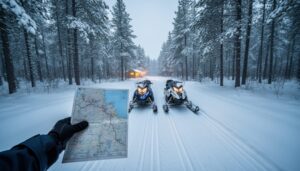
Always pack a physical topographic map and compass. Voice activate GPS excels as your primary navigation tool, but traditional methods remain essential when technology fails. Practice basic map reading skills before you need them in an emergency.
Voice Activate GPS Safety Tips for Remote Exploration
Voice-activated GPS makes navigation easier, but it should never be your only lifeline in Ontario’s backcountry. Technology fails, batteries drain faster in cold weather, signals drop in dense forest cover, and a wet phone can stop responding to commands entirely. Treat your voice navigate system as a convenience tool, not a survival crutch.
Before venturing into remote areas like Algonquin’s interior or the Bruce Peninsula backcountry, establish these non-negotiable safety practices:
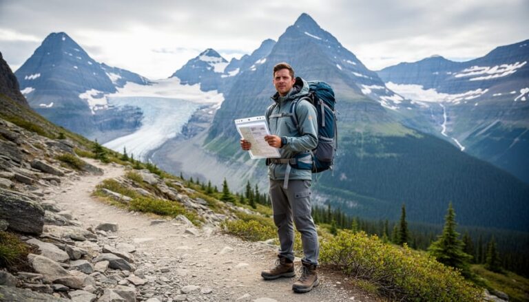
- Always carry waterproof paper maps and a compass as backup navigation
- Share your planned route and expected return time with someone reliable
- Download offline maps for your entire route plus surrounding areas
- Pack a portable battery bank dedicated to your navigation device
- Test your voice commands in realistic conditions before depending on them
Know when to ignore your device. If voice activate GPS directs you toward what looks like unsafe terrain, a steep drop-off, unstable ground, or water crossing that seems too deep, trust your eyes and experience over the technology. GPS coordinates can be slightly off, especially under heavy tree canopy, and voice systems don’t account for recent trail damage, fallen trees, or seasonal hazards.
Keep your traditional navigation skills sharp. Practice map reading regularly, even when using voice navigation. Understanding topography, recognizing landmarks, and estimating distances visually are skills that don’t need batteries. The best outdoor navigators use voice-activated systems to enhance their awareness, not replace their judgment.
Voice activate GPS technology transforms how we explore Ontario’s wilderness, putting navigation literally at your command while keeping your hands free for the adventure ahead. Whether you’re paddling into Algonquin’s backcountry or hiking the Bruce Trail, voice-activated systems let you focus on the experience instead of fumbling with devices.
That said, technology should enhance your outdoor skills, not replace them. I always pack paper maps and a compass, even when my voice-activated guide is working perfectly. Think of voice activate GPS as your helpful trail companion, not your only one. The best outdoor enthusiasts blend modern tools with traditional knowledge.
Ready to try hands-free navigation? Start simple on your next park visit. Download offline maps, practice a few basic commands in your backyard, then test them on a familiar trail. You’ll quickly discover how natural it feels to ask for directions while your hands stay on your trekking poles or camera.
The future of outdoor navigation is here, and it speaks your language. Just remember to look up from the technology once in a while and appreciate the Ontario wilderness that brought you there in the first place.






+ There are no comments
Add yours