
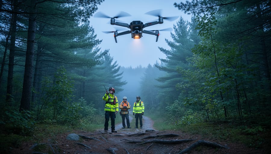
Drones in emergency services are unmanned aerial vehicles equipped with cameras, sensors, and communication tools that help first responders locate, assess, and assist people in distress, particularly in remote or hard-to-reach wilderness areas. In Ontario’s vast network of provincial and national parks, where hikers can find themselves miles from the nearest road and cell service is spotty at best, these flying machines have become an essential part of search-and-rescue operations, medical emergencies, and disaster response.
If you’re planning a backcountry adventure in Ontario’s remote parks, understanding how drone technology supports emergency services can give you peace of mind and help you make smarter decisions about safety planning. Park rangers and emergency crews now deploy drones to search vast forest areas in minutes rather than hours, deliver life-saving supplies to injured hikers awaiting rescue, and relay real-time video from accident scenes to help coordinate ground teams. These capabilities have already shortened response times and saved lives across Ontario’s wilderness areas.
This article walks you through what drone-based emergency response looks like in practice, from the thermal cameras that can spot a lost hiker’s heat signature through dense tree cover to the specific missions these aircraft fly in parks like Algonquin and Killarney. You’ll learn which situations call for drone deployment, what limitations the technology still faces in thick forest canopy and extreme weather, and how this growing capability fits into the broader safety net protecting visitors who venture into Ontario’s backcountry. Whether you’re a day-tripper or a seasoned wilderness camper, knowing how these systems work means you can better prepare for the unexpected.
What Emergency Drones Actually Are
Emergency drones in park settings are unmanned aerial vehicles specifically configured for rapid response scenarios in wilderness environments. Unlike the recreational drones you might see hobbyists flying at your local park, these aircraft are purpose-built systems designed to carry medical supplies, locate missing persons, and provide critical support to search-and-rescue teams working in Ontario’s vast backcountry areas.
Think of them as flying first-aid kits with eyes. A typical emergency drone used in provincial parks weighs between 5 and 25 kilograms, can fly autonomously for 30 to 60 minutes depending on payload, and carries equipment ranging from AED units and trauma supplies to communication devices and thermal cameras. They’re built to handle wind, rain, and the kind of unpredictable conditions that ground recreational drones, and they’re increasingly working alongside other park innovations like autonomous shuttles to create safer, more accessible wilderness experiences.
- UAV (Unmanned Aerial Vehicle)
- The technical term for any aircraft operated without a human pilot aboard, controlled either remotely or through pre-programmed autonomous flight paths.
- Payload Capacity
- The maximum weight of equipment a drone can carry while maintaining safe flight, typically 2 to 5 kilograms for emergency park drones, enough for essential medical supplies or rescue gear.
- Autonomous Flight
- The drone’s ability to navigate to GPS coordinates and return to base without constant human control, essential for rapid deployment when seconds matter.
- Geofencing
- Virtual boundaries programmed into the drone’s system to prevent flight into restricted areas like wildlife protection zones or near other aircraft.
- Thermal Imaging
- Camera technology that detects heat signatures, allowing drones to locate people in dense forest or darkness by identifying body heat against cooler surroundings.
What sets these systems apart is their integration with park emergency networks. They’re not standalone gadgets, they’re part of a coordinated response system that connects park wardens, emergency dispatch, and ground rescue teams through real-time data sharing and GPS coordination.
How Emergency Drones Work in Remote Parks
Flight Systems and Navigation
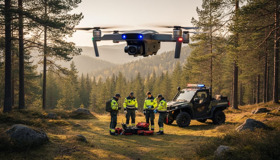
Emergency drones navigating Ontario’s dense forests rely on a combination of GPS waypoints, real-time obstacle detection, and pre-programmed flight paths. Unlike recreational drones that need constant operator input, these systems use autonomous navigation software that maps terrain in advance and adjusts routes on the fly when trees, rock faces, or unexpected weather appear.
The key is sensor fusion, combining GPS coordinates with onboard cameras, LiDAR systems, and ultrasonic sensors that detect branches, cliffs, and other hazards within metres of the aircraft. When flying through canopy cover where GPS signals weaken, drones switch to visual odometry, essentially tracking their position by analyzing the landscape below and comparing it to stored mapping data.
Communication presents a bigger challenge. Most emergency drones carry redundant systems: satellite uplinks for remote areas with zero cell coverage, plus long-range radio frequencies that connect directly to ranger stations or mobile command units. Some newer models deploy as relay networks, with multiple drones creating a communication chain between an isolated victim and rescue coordinators dozens of kilometres away. Battery life limits how long these systems can operate, typically 25 to 40 minutes of flight time, so precision matters more than endurance in wilderness deployments.
Payload and Equipment Configuration
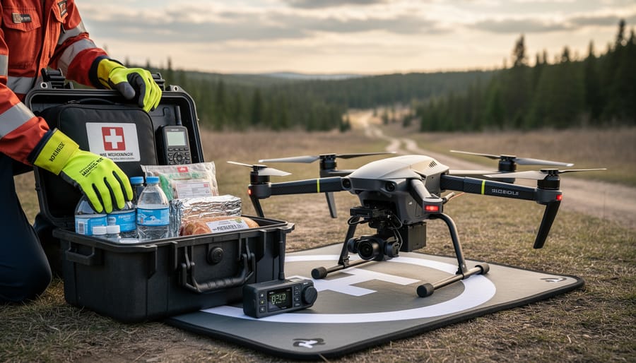
Emergency drones deployed in Ontario’s parks typically carry payloads between 2 and 10 kilograms, depending on the model and mission requirements. Standard emergency loads include basic first aid supplies, tourniquets, gauze, trauma dressings, and bleeding control kits, that can stabilize an injured hiker until ground crews arrive. Some units carry automated external defibrillators (AEDs), epinephrine auto-injectors for severe allergic reactions, or diabetes emergency kits.
Communication payloads include two-way radios, satellite phones, or emergency beacons that establish contact with stranded visitors in areas where cell coverage fails completely. Search-equipped drones carry thermal imaging cameras, spotlights, and sometimes GPS trackers to drop at discovered locations.
The critical trade-off is weight versus flight time. A drone carrying a 5-kilogram medical kit might achieve 25 minutes of flight time, covering roughly 15 kilometers round-trip in calm conditions. Lighter payloads extend range significantly, a 2-kilogram communication device could push that to 40 minutes and 25 kilometers. Wind, temperature, and terrain elevation all reduce these figures. Park emergency coordinators select configurations based on the specific incident, balancing what’s needed against how far the drone must travel.
Types of Emergency Drone Missions
Search-and-Rescue Operations
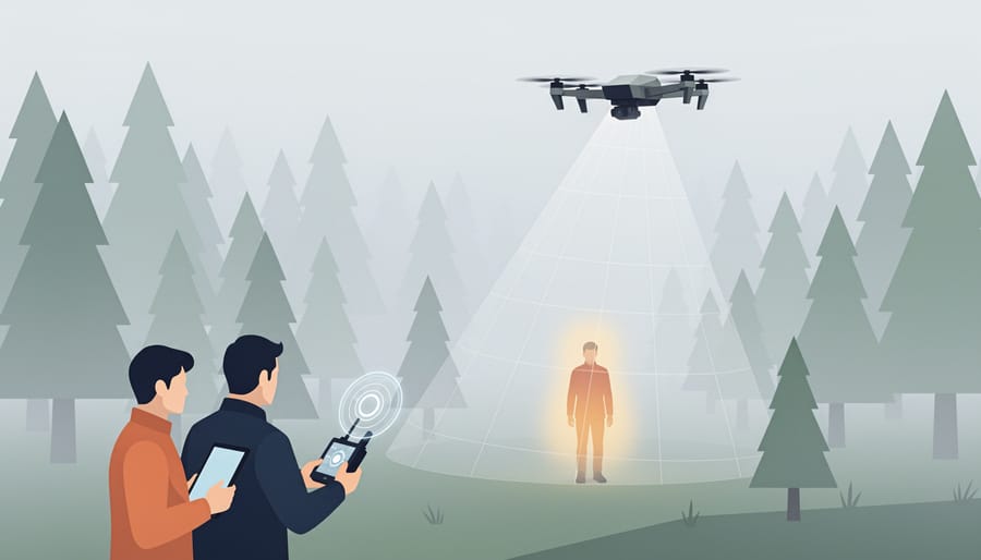
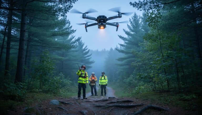
When a hiker goes missing in thousands of acres of dense forest, every minute counts. Drones equipped with thermal imaging cameras can scan vast sections of wilderness far faster than ground teams, detecting body heat signatures through tree canopy and even in complete darkness. These aircraft follow systematic thermal drone search patterns covering grid sections that would take search parties hours to walk, while transmitting live video feeds back to command centres where rangers coordinate the response.
In Ontario’s remote parks, drones have cut initial search times from several hours down to 20 or 30 minutes in some cases. The technology works particularly well at dawn and dusk when temperature differences make heat signatures stand out sharply. Once a drone locates a missing person, it can mark GPS coordinates, continue monitoring from above, and in some advanced setups, even deploy emergency drone ziplines or drop communication devices so the victim can talk directly with rescue teams while they make their way to the location.
Medical Supply and Aid Delivery
In remote park settings, minutes matter when a hiker suffers a severe allergic reaction, a camper experiences chest pain, or someone sustains a deep laceration miles from the nearest road. Emergency drones bridge the critical gap between injury and professional medical care by carrying essential supplies directly to the scene.
These aircraft typically transport 2-5 kilograms of cargo depending on distance, enough for an AED, EpiPens, tourniquets, Israeli bandages, glucose gel, or a basic trauma kit. The payload arrives in a weatherproof container that ground personnel or even the injured person can open following voice instructions relayed through the drone’s speaker system.
A delivery that might take rescue teams 45 minutes on foot can happen in under 10 minutes by air. That speed advantage proves decisive for time-sensitive conditions like anaphylaxis, cardiac events, or severe bleeding. The drone doesn’t replace paramedics; it buys time, delivering the tools that stabilize a victim until human responders arrive with advanced care and evacuation capability.
Some Ontario pilot programs now include two-way video communication, letting medical dispatchers assess injuries in real time and guide bystanders through treatment steps while the drone hovers as a relay point.
Communication and Coordination
When cell towers are miles away and a hiker’s phone shows no signal, an emergency drone can become a flying communications bridge. These aircraft carry relay equipment that captures distress signals from personal locator beacons or satellite messengers, then transmits that information directly to park rescue coordination centres. In situations where an injured person can’t move but needs to communicate their condition or exact location, a drone hovering overhead establishes a temporary link, allowing two-way voice or text communication between the victim and incoming rescue teams. This real-time information exchange helps responders prepare the right medical equipment and plan the safest extraction route before they even reach the scene, turning what might have been a multi-hour communication gap into minutes of coordinated preparation.
Where Emergency Drones Are Being Used in Ontario Parks
Ontario’s vast park system is becoming a proving ground for drone emergency services, with several parks leading the way in testing and implementing these life-saving systems.
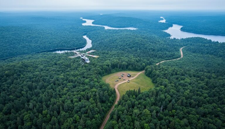
Algonquin Provincial Park, covering nearly 8,000 square kilometers, has been at the forefront of drone integration for emergency response. The park’s sheer size and limited road access make it an ideal candidate for aerial support. Park rangers here work with drone operators during high-traffic summer months, particularly around popular backcountry routes where hikers can be days from the nearest trailhead. The program focuses on thermal imaging searches and delivering emergency communication devices to lost or injured visitors.
Killarney Provincial Park has piloted drone-assisted search operations in its rugged granite ridges and interior lakes, where traditional ground searches can take hours to reach remote areas. The park’s partnership with local emergency services has proven especially valuable during shoulder seasons when visitor numbers are lower but weather conditions can turn dangerous quickly.
Bruce Peninsula National Park has tested drones for coastal rescue situations along its dramatic cliffs and shoreline trails, where injuries occur on steep terrain that’s challenging for ground teams to access. The rocky, forested environment provides real-world testing conditions for obstacle avoidance systems.
Frontenac Provincial Park, closer to urban centers but still offering genuine wilderness experiences, serves as a testing site for equipment refinement and training programs. Its proximity to Kingston makes it practical for developing standardized protocols that can be rolled out to more remote locations.
Ontario Parks has established a framework for coordinating these programs across the provincial system, working with Transport Canada to ensure compliance with aviation regulations while expanding coverage. However, implementation remains gradual, with most parks still relying primarily on traditional ground-based rescue teams. Drone services currently supplement rather than replace existing emergency infrastructure, and availability varies significantly by location and season.
Benefits for Park Visitors and Emergency Responders
For park visitors, emergency drones create a fundamentally safer backcountry experience. When someone twists an ankle five kilometers from the nearest trailhead or a diabetic camper runs out of insulin, a drone can deliver critical supplies in minutes rather than the hours it would take a ground team to hike in. That speed matters, hypothermia, blood loss, and allergic reactions don’t wait for traditional rescue timelines. Rangers report that drone-delivered epinephrine and tourniquets have already saved lives in situations where helicopter deployment wasn’t feasible due to dense forest canopy or weather conditions.
Beyond the immediate emergency response, drones reshape how people approach wilderness adventures. Knowing that help can reach you quickly encourages visitors to explore deeper into parks like Algonquin and Frontenac, expanding access to less-traveled areas while maintaining safety margins. Parents feel more confident taking kids on overnight trips. Solo hikers gain an extra layer of security.
The environmental wins matter too. Electric drones produce no emissions, create minimal noise compared to helicopter flyovers, and don’t require trail-widening for vehicle access. This quiet, clean technology aligns perfectly with Ontario’s broader push toward sustainable recreation infrastructure, the same thinking behind EV charging stations at park entrances and solar-powered boats on backcountry lakes. Rangers benefit from faster situational awareness through real-time aerial views, helping them coordinate ground teams more effectively and reducing the physical toll of repeated emergency hikes into the same remote zones.
Limitations and What to Know Before You Go
Emergency drones represent a promising safety enhancement for Ontario’s remote parks, but they’re not a magic solution, and understanding their limitations is essential for anyone planning backcountry adventures.
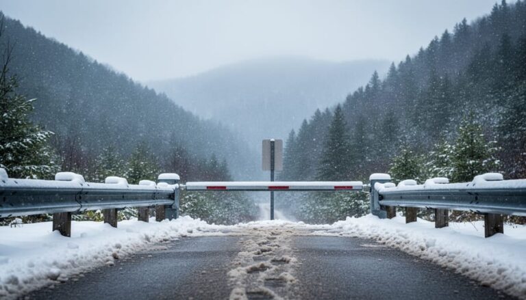
Weather remains the biggest operational constraint. Drones can’t fly safely in heavy rain, snow, dense fog, or high winds, which are exactly the conditions when emergencies often occur in wilderness settings. If a storm rolls through Algonquin or visibility drops in Frontenac Provincial Park, drone assistance may not be available when you need it most. Traditional rescue teams remain the primary response in severe weather.
Battery range and payload capacity also impose real-world limits. Most emergency drones operating in Ontario parks can fly 30 to 50 kilometers round-trip, carrying payloads of 2 to 5 kilograms. That’s enough for basic first aid supplies or an emergency communication device, but not advanced medical equipment or significant quantities of food and water. If you’re deep in the backcountry beyond the drone’s operational radius, ground or helicopter rescue is still the only option.
Current limitations visitors should understand:
- Drones supplement traditional rescue, they don’t replace experienced search teams or park rangers
- Not all parks have drone programs; availability varies by location and is often limited to pilot areas
- Response isn’t instantaneous, deployment still requires coordination and favorable conditions
- Regulatory restrictions may limit night operations or flights over certain protected areas
The bottom line: treat drone emergency services as an extra layer of safety, not a guarantee. Pack adequate supplies, file trip plans with park offices, carry communication devices like satellite messengers, and prepare as if drone assistance won’t be available. When it is available, it can make a critical difference, but self-reliance remains your best safety strategy in Ontario’s remote wilderness.
Common Questions About Emergency Drones in Parks
Visitors planning trips to Ontario’s remote parks often have practical questions about how emergency drone services work and what to expect. Here’s what you need to know before heading into the wilderness.
How do I know if a park has emergency drone service?
Check the park’s official website or contact the visitor centre before your trip. Parks with active drone programs typically list emergency services in their safety information, and rangers at check-in stations can confirm availability and coverage areas.
Will I see or hear drones during my visit?
Emergency drones are deployed only during actual emergencies, not routine patrols. If you do encounter one, it’s responding to a specific incident and will pass quickly, they’re much quieter than helicopters.
What should I do if I need emergency help in a drone-equipped park?
Use the same emergency protocols as always: call 911 if you have cell service, activate your personal locator beacon if you carry one, or signal for help at your last known location. Dispatchers will determine if a drone response is appropriate and coordinate with ground rescue teams.
Are drones used for surveillance or monitoring park visitors?
No. Emergency drones operate strictly on an as-needed basis for specific rescue or medical missions. They’re not used for general surveillance, wildlife monitoring unrelated to emergencies, or tracking visitor movements.
Can a drone find me if I’m lost in dense forest?
Drones equipped with thermal cameras can detect body heat through tree canopy, especially at night. However, staying in one place, making yourself visible in clearings when possible, and carrying a whistle or mirror significantly improves detection chances.
What if weather conditions prevent drone deployment?
Traditional ground-based rescue teams remain the primary response in all weather conditions. Drones enhance emergency response when conditions permit, but parks always maintain conventional search-and-rescue capabilities as backup.
The key thing to remember is that emergency drones are tools that work alongside, not instead of, experienced park rangers and rescue personnel. If you’re heading into remote areas, carry the same safety equipment you always would: first aid kit, navigation tools, extra food and water, and a way to signal for help. The presence of drone services shouldn’t change your preparation habits, but it does mean that in genuine emergencies, help may reach you faster than ever before. Most parks publish their emergency response capabilities in trip planning guides, so take a few minutes to familiarize yourself with what’s available at your destination before you set out on the trail.
Emergency drones are quietly reshaping how we think about safety in Ontario’s wilderness. What once meant waiting hours, or days, for help in remote locations now increasingly means a drone arriving with medical supplies in minutes. That’s a genuine shift, not a futuristic fantasy.
For anyone who loves exploring parks like Algonquin or Frontenac, this technology offers real peace of mind without requiring you to change how you hike or camp. The systems work behind the scenes, activated only when needed. You still pack your first aid kit, file your trip plan, and follow Leave No Trace principles, drones simply add an extra safety layer that wasn’t there before.
As more parks adopt these programs in 2026 and beyond, expect faster response times, expanded coverage areas, and quieter, longer-range electric models. The eco-friendly angle matters too: fewer helicopter flights mean less noise, lower emissions, and minimal disturbance to wildlife.
The wilderness remains wild, and self-reliance still matters most. But knowing that cutting-edge aid can reach you faster than ever? That’s the kind of innovation that makes remote exploration more accessible and safer for everyone. Get out there, Ontario’s parks are ready.







+ There are no comments
Add yours