Categories
What Happens When You Opt Out of Biometric Boarding at Airports
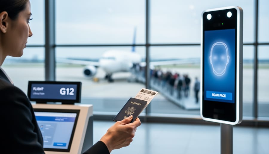
Decline facial recognition at airport boarding gates by informing the gate agent you’re opting out before they direct you to the camera—it’s your legal right, and airlines must provide a manual document check as an alternative. Look for signage near the gate that explains your opt-out option, though it’s often small or poorly positioned, and speak up clearly when the agent instructs passengers to step forward for scanning. Request the traditional boarding pass scan instead, which takes just seconds longer than biometric processing.
While …