
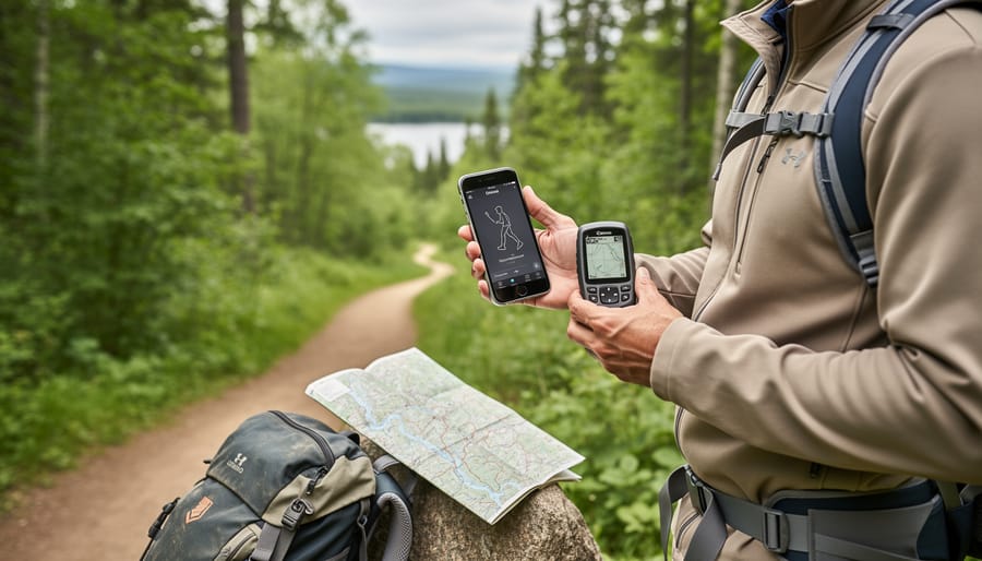
Planning your next hiking or paddling adventure in Ontario’s parks means choosing the right digital route format, and that decision comes down to GPX versus KML files. Both formats store GPS data that guides you through trails, but GPX files are the outdoor navigator’s standard, working seamlessly with dedicated GPS devices and most hiking apps, while KML files shine in Google Earth for pre-trip visualization and planning. For most trail users, GPX is the smarter download choice because it loads directly into Garmin units, phone apps like Gaia GPS and AllTrails, and wearable devices without conversion headaches.
The confusion around these formats costs outdoor enthusiasts time and sometimes safety. I’ve watched paddlers at Algonquin Park launch points struggle with incompatible files on their devices, forcing last-minute route changes. Understanding which format your gear needs before you download saves that frustration and lets you focus on the actual adventure.
The good news? Ontario’s growing network of downloadable route libraries now offers files in both formats, and knowing what to look for ensures you’ll have reliable navigation whether you’re tackling the Bruce Trail’s rugged sections or exploring backcountry canoe routes. This guide cuts through the technical jargon to help you choose confidently, download smartly, and hit the trail prepared.
Understanding GPX vs. KML Route Files
What GPX Files Do Best
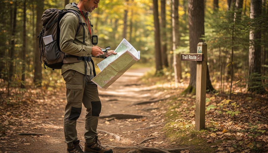
GPX files excel at turn-by-turn navigation because they store waypoints, track points, and elevation data in a standardized format that virtually every GPS device and hiking app can read. When you’re deep in Algonquin Park or tackling the Fullerton Loop in Frontenac Provincial Park, your GPS unit can follow the breadcrumb trail of coordinates even when your phone has zero signal. The format works seamlessly with Garmin devices, Suunto watches, and apps like Gaia GPS or Komoot.
What makes GPX particularly valuable for Ontario backcountry trips is its precision with elevation profiles. You’ll see exactly how much climbing awaits on that Bruce Trail section, helping you estimate hiking time and energy requirements. GPX files also preserve timestamps if someone recorded the original track, letting you gauge realistic pacing. The format’s simplicity means smaller file sizes than KML, which matters when you’re loading dozens of routes onto a GPS device with limited storage before a multi-day canoe-camping expedition in Killarney.
When KML Files Shine
KML files excel when you need to visualize routes before setting foot on the trail. Their native integration with Google Earth lets you view elevation profiles in stunning 3D, examine tricky sections of a hiking path from multiple angles, and understand exactly what terrain awaits you in Algonquin or Bruce Peninsula parks. This visual preview proves invaluable when planning group trips, you can share a KML file with your camping buddies so everyone sees the same route details, including campsites, water sources, and viewpoints you’ve marked.
For trip leaders organizing outings to Ontario parks, KML’s rich formatting options shine. You can color-code different route segments (say, marking a steep section in red), add photos to specific waypoints showing what landmarks look like, and include detailed notes about trail conditions. These files display beautifully when emailed to group members or posted to shared drives, making pre-trip planning sessions more collaborative. Many Ontario park explorers use KML files for the planning phase, then convert to GPX for actual navigation on their GPS devices, getting the best of both worlds.
What to Look for in a Route Library
Route Accuracy and Verification
Accurate route files can mean the difference between a great day on the trail and a potentially dangerous situation in Ontario’s backcountry. An incorrectly mapped route might lead you onto unmarked terrain, add unexpected hours to your hike, or worse, direct you toward hazards like unstable cliff edges or seasonal creek crossings that aren’t passable.
Ground-truthed routes, created by someone who’s actually walked the trail with a GPS device, are your gold standard. Before downloading, check when the route was last recorded and whether the creator provides notes about trail conditions. User comments are invaluable here. Look for recent reviews mentioning accuracy, and be wary if multiple hikers report the route didn’t match the actual trail.
Compare your chosen route against satellite imagery in Google Earth or similar tools. Does the path follow logical terrain? Does it cross rivers where no bridges exist? If a route shows perfectly straight lines through dense forest, that’s often a red flag, it may be drawn from a map rather than recorded in the field.
For Ontario parks specifically, cross-reference downloadable routes with official trail maps from park websites. Discrepancies don’t always mean the file is wrong, but they warrant investigation before you’re deep in Algonquin’s interior relying on that data.
Coverage of Ontario Parks and Trails
Ontario’s route library landscape varies dramatically depending on where you’re planning to hike. Provincial parks like Algonquin, Killarney, and Bruce Peninsula enjoy excellent digital coverage, you’ll find multiple route options for their major trails, from easy lakeside loops to challenging backcountry treks. Conservation areas closer to urban centres, particularly around Toronto, Hamilton, and Ottawa, also have solid representation in most libraries.
The gaps appear in lesser-known provincial parks and remote northern regions. Smaller parks like Esker Lakes or Missinaibi might have only one or two official routes available, if any. Conservation authorities manage hundreds of properties across Ontario, but digital route coverage is inconsistent, some have comprehensive GPS files available on their websites, while others offer nothing beyond basic trail maps.
Canoe routes present another challenge. While iconic paddling destinations like Temagami and Quetico have decent route file collections, many smaller waterway systems lack GPS-ready files. Seasonal trail variations, winter fat-biking routes, snowshoe paths, or spring waterfalls, are rarely documented in downloadable formats. Before committing to a library, verify it covers your specific destination and activity type rather than assuming “Ontario parks” means universal coverage.
Update Frequency and Seasonal Relevance
Trail conditions in Ontario parks change dramatically with the seasons, spring floods can wash out bridges, summer storms down trees across paths, and winter closures shut entire sections. A route library last updated two years ago might send you toward a decommissioned trail or a temporarily closed area.
Look for libraries that refresh their collections at least seasonally, ideally with user-reported updates throughout the year. Some premium services push condition alerts directly to your device before trips. Free collections often lag months behind actual conditions, which matters less on well-maintained provincial park trails but becomes critical for backcountry routes.
Check the library’s last update date before downloading. If it’s over six months old, cross-reference with the park’s official website for recent closures or reroutes. Many Ontario parks post seasonal trail status bulletins that your downloaded routes won’t reflect unless the library actively incorporates them.
Types of Route Libraries Compared
Official Park and Conservation Authority Routes
Downloading routes directly from Ontario Parks and local conservation authorities offers the highest reliability, these are official trails verified by the organizations that maintain them. When a provincial park publishes a GPX or KML file, you’re getting the intended route as mapped by staff who know every junction and seasonal closure. This eliminates guesswork about trail accuracy.
The main advantage? These routes reflect current conditions. If a section washes out or gets rerouted, official sources update their files faster than third-party platforms. Conservation authorities like Toronto and Region Conservation Authority (TRCA) and Credit Valley Conservation provide free, accurate routes for their properties.
Here’s the catch: coverage is frustratingly inconsistent. Many popular parks still don’t offer downloadable route files at all. Algonquin Park has excellent digital route coverage, but dozens of smaller provincial parks provide only PDF maps. You’ll find yourself piecing together routes from multiple sources rather than relying solely on official downloads.
File formats vary too, some parks offer both GPX and KML, others just one or neither. Budget extra time for research when planning multi-park trips across Ontario.
Third-Party Mapping Platforms
Third-party platforms bridge the gap between official sources and community collections, offering curated route libraries with user-friendly interfaces. AllTrails dominates the Ontario market with thousands of verified trails across provincial parks, conservation areas, and regional networks. The free version lets you download routes as GPX files, but premium subscribers ($36/year) get offline maps, print options, and wrong-turn alerts, worthwhile for frequent park visitors who want reliability without cellular coverage.
Gaia GPS appeals to serious backcountry users with professional-grade mapping layers and detailed topographic data. At $40/year, it’s pricier than AllTrails but includes superior route planning tools and multiple map sources. Ontario paddlers and winter campers particularly value Gaia’s satellite imagery and ability to overlay routes on various base maps. The platform exports both GPX and KML seamlessly.
Komoot targets cyclists and hikers with turn-by-turn voice navigation, though its Ontario coverage lags behind competitors. The freemium model gives you one region free; additional areas cost $9 each or $30 for worldwide access. Route quality varies since much content comes from user submissions rather than verified sources.
Fatmap offers stunning 3D visualization that helps with trip planning, seeing terrain relief before you hike Killarney’s ridges proves invaluable, but fewer Ontario-specific routes compared to AllTrails. Most platforms offer free trials, so test them with your devices before committing to subscriptions.
Community and Open-Source Collections
Community-driven route collections offer a wealth of free options for Ontario trail enthusiasts, though they require more careful vetting than commercial alternatives. OpenStreetMap serves as the foundation for many free route libraries, with contributors mapping trails across provincial parks and conservation areas. The data quality varies, popular destinations like Algonquin Park and Bruce Trail sections typically feature well-documented routes, while remote areas may have sparse or outdated information.
Local hiking clubs maintain their own repositories, often shared through club websites or Google Drive folders. These collections shine with insider knowledge: accurate trailhead coordinates, seasonal water source locations, and notes about recent trail conditions. The Toronto Bruce Trail Club and Voyageur Trail Association, for example, regularly update their route files based on member reports.
The trade-off? No guaranteed accuracy or customer support. User-contributed routes can include mapping errors, discontinued trails, or routes that cross private property. Always cross-reference community routes with official park maps before relying on them. Download dates matter too, a GPX file from 2023 might not reflect 2026 trail reroutes or closures. Despite these caveats, community collections remain valuable for discovering lesser-known paths and connecting with the local hiking community’s collective experience.
Recommended Route Libraries for Ontario Parks
Best Free Options
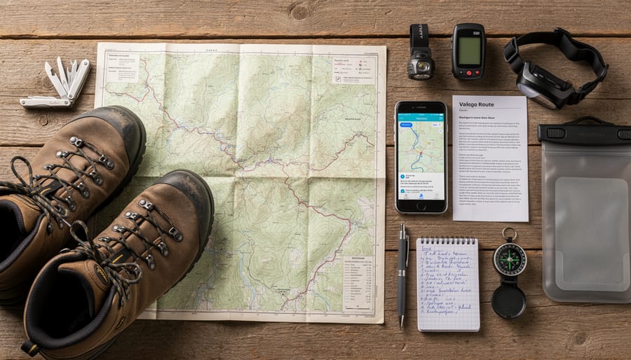
Several excellent free route libraries offer solid coverage of Ontario parks and trails without requiring a subscription. OpenStreetMap (OSM) provides the foundation for many free route collections, with volunteers contributing detailed GPS tracks from provincial parks like Algonquin, Killarney, and Bruce Peninsula. You can download these routes through platforms like GPSies or by exporting directly from OSM-based apps.
AllTrails offers a generous free tier with thousands of Ontario trail routes available as GPX downloads, though you’ll face limitations on offline map access and advanced features. The route descriptions and user reviews help verify accuracy before downloading. Ontario Parks‘ official website provides free downloads for select parks, particularly newer conservation areas and heavily-visited destinations like Sandbanks and Awenda.
The Hiking Project covers major Ontario trail systems with community-verified routes, completely free. Local hiking clubs like the Bruce Trail Conservancy also maintain free route libraries for members.
The main limitation across free options? Coverage gaps in remote parks, occasional outdated information, and you’ll need to cross-reference multiple sources to find comprehensive route collections for less-popular destinations.
Premium Libraries Worth Paying For
Most free route libraries cover popular trails, but paid services earn their keep when you’re planning multi-day trips, exploring lesser-known parks, or needing reliable offline maps across Ontario.
Gaia GPS ($40/year) stands out for serious backcountry users. You get downloadable topographic maps, satellite imagery that works without cell service, and privately shared routes from experienced hikers who’ve documented obscure trails in places like Killarney and Quetico. The route recording feature lets you create your own library as you explore.
AllTrails+ ($36/year) makes sense if you value community reviews alongside routes. The real benefit isn’t just downloading GPX files, it’s seeing recent trail condition reports from other Ontario hikers, photos from last week’s trip, and warnings about washed-out sections or bear activity. The offline map downloads cover every provincial park comprehensively.
Avenza Maps operates on a pay-per-map model (typically $5-15 per park). Worth considering if you only visit a few specific parks annually and want professional-grade cartography rather than a broad subscription.
Consider paid options when your trips move beyond weekend day hikes into remote areas where navigation mistakes have real consequences.
Specialized Collections
While mainstream route libraries cover popular hiking trails, Ontario’s diverse outdoor scene demands more specialized collections. If you’re pursuing a specific activity, these niche libraries offer routes that general platforms often miss.
Winter trail collections matter because summer hiking paths transform under snow. The Ontario Federation of Snowmobile Clubs maintains groomed trail GPX files, while Nordic ski centers like Highlands Nordic in Haliburton publish their own track sets. Cross-country skiers should look for libraries marking skate-skiing versus classic-only sections, a detail that general hiking platforms ignore entirely.
Accessible route libraries serve visitors with mobility considerations. Ontario Parks’ accessibility coordinator office provides select barrier-free trail files, though coverage remains limited. Trails Open maintains a growing collection of wheelchair-accessible boardwalk routes with detailed gradient information coded into the file metadata.
Mountain biking libraries distinguish between cross-country flow trails and technical singletrack. The Ontario Cycling Association curates legal MTB route collections, crucial since many hiking-focused libraries mistakenly include trails where bikes aren’t permitted. Look for files noting features like rock gardens, ladder bridges, and jump lines.
Paddling route collections deserve special attention, water navigation requires different file structures than land trails. Jeff’s Maps offers detailed canoe route GPX files with portage locations, while Paddle Planner provides files including campsite coordinates for multi-day trips through Algonquin’s backcountry.
Common Mistakes When Choosing Route Files
The Offline Access Trap
Most Ontario parks have spotty or nonexistent cellular coverage once you’re more than a few kilometres from the main gate. Assuming you’ll stream maps or download routes on-site is a recipe for getting lost.
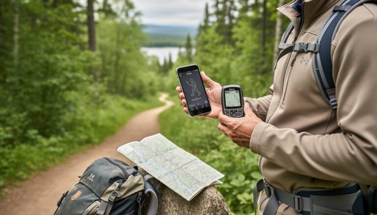
Before you leave home, download your GPX or KML files directly to your device. Open your navigation app and confirm the routes load completely, not just the file name, but the actual trail line displayed on the map. Most apps offer offline map downloads; grab the entire region you’re visiting, not just the trailhead area.
Test airplane mode at home. Turn off your phone’s data and Wi-Fi, then open your route. If it disappears or shows errors, you haven’t cached the necessary map tiles. Many hikers discover this problem at the trailhead when it’s too late.
Keep downloaded routes in a dedicated folder on your device. Don’t rely on cloud storage or email attachments you’ll need internet to access. Your backup should be a screenshot of the route or a PDF export you can view without any app loading.
Device Compatibility Issues
You’ve downloaded a perfect route for Algonquin Park, but when you try to load it on your handheld GPS, nothing happens. This frustration is common, older Garmin devices often struggle with KML files, while some Android apps choke on complex GPX tracks with too many waypoints.
Before heading out, always test your route files at home. Load them onto every device you plan to carry and zoom in to verify the trail appears correctly. Some GPS units have file size limits that reject detailed routes, and certain apps can’t handle tracks containing more than a few hundred points. If a file won’t open, try converting it using free tools like GPSBabel or exporting a simplified version with fewer data points.
Your smartphone’s battery will die eventually, so ensure your dedicated GPS device accepts your chosen format. Many newer units handle both GPX and KML, but budget models stick to GPX only.
Over-Reliance on Technology
Even the most comprehensive canoe route library can’t replace traditional navigation skills and backup planning. Batteries die, devices get dropped in lakes, and software glitches happen at the worst moments. Always pack a waterproof paper map and compass as your primary backup, not an afterthought. This isn’t just about safety; it’s an eco-friendly practice that reduces screen time and helps you truly engage with Ontario’s wilderness.
Digital routes should guide your planning, not dictate your entire experience. Learn to read topographic features, recognize trail markers, and trust your instincts. If you’re paddling remote routes where you’ll need portage yokes and serious backcountry skills, that paper map becomes essential survival gear. Technology enhances outdoor adventures, but self-reliance keeps you safe when screens go dark.
Frequently Asked Questions

Can you really navigate Ontario’s backcountry with just a downloaded file on your phone? Most hikers wonder about practical details before their first trip using digital routes. Here are answers to the questions we hear most often.
Can I use GPX files on my iPhone?
Yes, several iOS apps read GPX files including Gaia GPS, AllTrails, and . Download the file to your phone, then open it with your preferred navigation app, most apps let you import routes directly from email attachments or cloud storage.
Are KML files free to download and use?
KML is a free, open format developed by Google, so there’s no cost to use the file type itself. However, individual route libraries may charge for access to their collections regardless of whether they provide GPX or KML formats.
Do I need internet service to use downloaded routes in Ontario parks?
No, once you’ve downloaded the route file and any associated maps to your device, everything works offline. This matters because most Ontario parks have spotty or no cellular coverage, always download before you leave home.
Which format works with Garmin devices?
Garmin GPS units work natively with GPX files. While you can convert KML to GPX using free online tools, it’s simpler to download GPX versions directly if you’re using a dedicated Garmin device for navigation.
Another common question involves editing routes after downloading them. You can modify both GPX and KML files using various software, BaseCamp for Garmin users, Google Earth for KML files, or web-based editors for either format. This lets you customize downloaded routes by adding waypoints for campsites, removing unnecessary detours, or combining sections from multiple routes. Just remember that edited routes haven’t been ground-truthed the same way the original was, so changes to trail paths should reflect actual on-the-ground conditions you’ve verified yourself.
When technical issues pop up, they’re usually simple fixes. If a route won’t load on your device, check that you’ve downloaded the right format, trying to open a KML file in an app that only reads GPX explains most problems. File corruption during download is another culprit, so re-downloading from the original source often solves mysterious errors. Keep your navigation apps updated too, since older versions sometimes struggle with routes created using newer standards.
Choosing the right route file format and library transforms your Ontario parks adventures from stressful guesswork into confident exploration. Whether you opt for the GPS-friendly versatility of GPX or the visual planning power of KML, what matters most is downloading your routes before you leave home and ensuring they’ll work offline when you’re deep in the backcountry. The best route library for you depends on your activity level, budget, and which parks you visit most, casual day hikers can thrive with free community collections, while serious backpackers benefit from premium services with verified, up-to-date trail data.
Remember that digital navigation is a tool, not a replacement for fundamental outdoor skills. Always carry paper maps as backup, check trail conditions before departure, and plan practical details like rail trail parking ahead of time. Download your routes, test them on your devices, and head out knowing you’ve got reliable navigation in your pocket, but keep your eyes on the landscape, not just the screen.






+ There are no comments
Add yours