
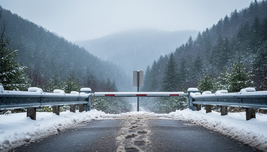
Several trails, roads, and facilities across Great Smoky Mountains National Park are currently closed due to severe winter weather, including US 441/Newfound Gap Road, Roaring Fork Motor Nature Trail, and popular campgrounds at Elkmont and Cades Cove. If you’re planning a trip from Ontario or anywhere else, you’ll need to check conditions daily and have backup plans ready, because snow, ice, and high winds can shut down access to some of the park’s most iconic destinations with little warning.
The National Weather Service issued a Winter Storm Warning that triggered widespread closures across the park. All visitor centers have shut their doors temporarily, and most major roads remain impassable due to snow and ice accumulation. This isn’t just an inconvenience for day hikers. It affects everyone from photographers hoping to catch sunrise at Newfound Gap to families who’ve booked campground stays weeks in advance.
Here’s what makes Smoky Mountains trail closures different from what you might experience at provincial parks back home: the park spans nearly 522,000 acres across extreme elevation changes, which means conditions can vary wildly from one trailhead to the next. A trail that’s perfectly walkable at Sugarlands might be buried under ice at Clingmans Dome. Weather systems move through quickly, but recovery takes time. Road crews need to clear not just pavement but also fallen trees and debris from high winds before reopening routes.
The closures matter because they reshape your entire itinerary. You can’t simply drive the loop road through Cades Cove or access backcountry campsites via Newfound Gap Road when winter storms hit. Smart visitors monitor the park’s official closure updates, follow their social media channels for real-time announcements, and build flexible schedules that include lower-elevation alternatives when mountain passes close.
What Changed: Current Closures at Great Smoky Mountains
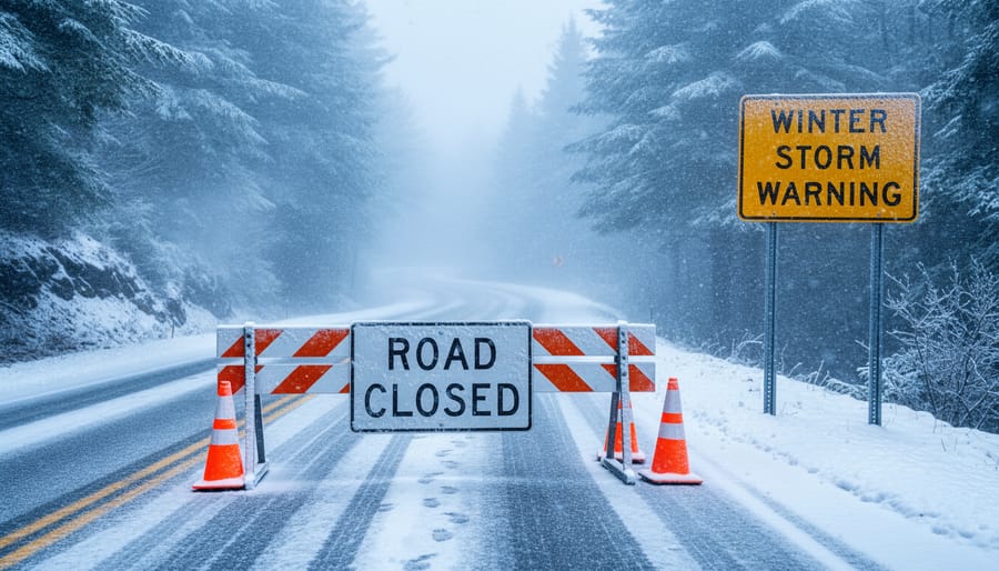
A National Weather Service Winter Storm Warning prompted Great Smoky Mountains National Park officials to implement sweeping closures across the park’s infrastructure. The advisory cited dangerous conditions including heavy snow accumulation, treacherous ice formation, and sustained high winds that created hazardous travel and outdoor recreation scenarios throughout the region.
Park administrators responded by shutting down all visitor centers to protect both staff and guests from the severe weather. The closure directive extended to critical road arteries, with US 441/Newfound Gap Road and Roaring Fork Motor Nature Trail remaining impassable due to snow and ice accumulation that made safe passage impossible. These aren’t minor detours, Newfound Gap Road serves as the park’s primary cross-mountain route, and its closure effectively splits the Tennessee and North Carolina sections of the park.
The storm’s impact reached beyond roads and buildings. High winds forced the closure of Elkmont and Cades Cove campgrounds, leaving overnight visitors scrambling for alternative accommodations. The combination of wind damage risk and treacherous access routes made keeping these popular camping areas open untenable from a safety standpoint.
This coordinated shutdown reflects the park’s conservative approach to visitor safety during volatile winter weather. Unlike typical trail-specific closures that affect individual hiking routes, this winter storm triggered a system-wide response that essentially placed the entire park in protective lockdown mode until conditions stabilize and crews can assess damage and clear hazards.
Key Developments: Breaking Down the Closures
1. Road Closures Due to Snow and Ice
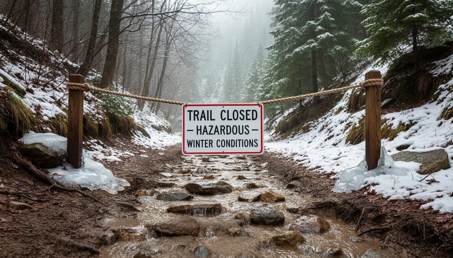
US 441/Newfound Gap Road, the main thoroughfare connecting Tennessee and North Carolina through the park, remains closed after snow and ice rendered it impassable. This 31-mile scenic route crosses Newfound Gap at 5,046 feet elevation, where winter storms deposit heavy snowfall and create treacherous ice patches that standard plowing can’t immediately clear. The closure affects not just sightseers but anyone planning to traverse the park, forcing lengthy detours around the mountain range.
Roaring Fork Motor Nature Trail, a narrow one-way loop through old-growth forest, is also shuttered. Its tight curves and steep grades make it particularly vulnerable to ice accumulation, and the park won’t reopen it until crews confirm safe passage. Unlike major highways that get priority treatment, this backcountry road typically stays closed longer after storms.
What catches visitors off guard is how quickly conditions deteriorate at higher elevations. A clear morning in Gatlinburg doesn’t guarantee safe passage over Newfound Gap, temperatures can drop twenty degrees and snow can be falling heavily just fifteen minutes up the mountain. Check the park’s official road status page before you leave your lodging, not just when you’re planning your trip days earlier. Conditions shift hourly during active weather events, and what was open at breakfast may be closed by lunch.
2. All Park Visitor Centers Shuttered
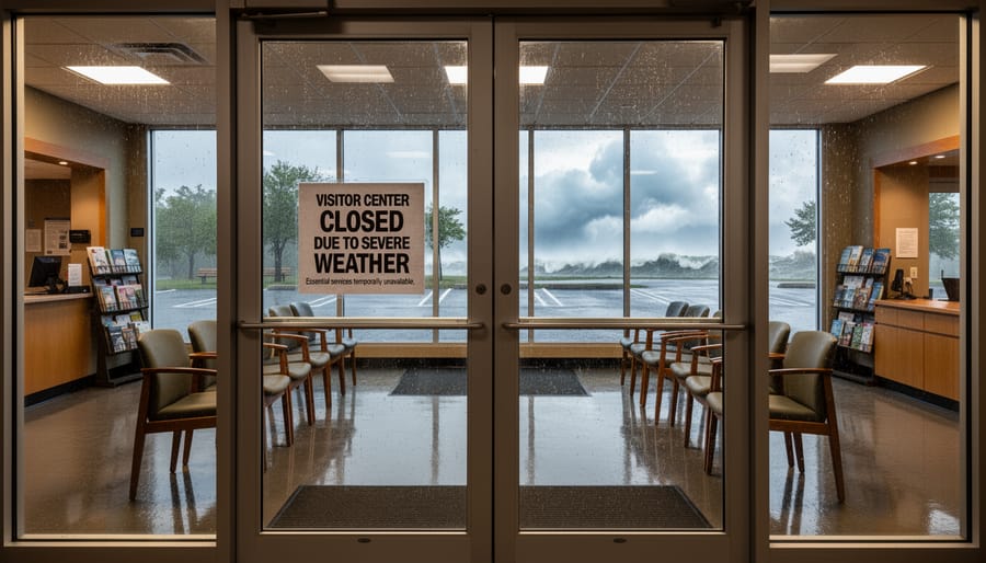
Shuttering all visitor centers compounds the disruption for anyone hoping to gather last-minute intel before hitting the trails. These facilities typically serve as your first stop for paper maps, real-time ranger updates, and backcountry permits, all of which vanish when the doors lock. Without that in-person guidance, you can’t walk up to a desk and ask which lower-elevation routes remain passable or where snow has rendered a trail unmarked.
Instead, pivot to the park’s official website and social media channels, which usually post condition updates and emergency notices faster than printed materials can circulate. The park’s online backcountry reservation system remains accessible even when buildings close, so you can still secure permits electronically if you’ve already planned a multi-day trek and weather clears. Download trail maps and safety bulletins to your phone before you lose cell signal, many trailheads sit in coverage dead zones.
If you need human advice, call the park’s main information line during business hours; rangers often field questions remotely when centers shut. Local outfitters and guides in Gatlinburg or Cherokee also track closure developments closely, though their advice skews toward what’s good for business, so cross-check any recommendations. The key is accepting that spontaneous, walk-in planning won’t happen this trip, research and preparation must happen before you leave home.
3. Campground Closures at Elkmont and Cades Cove
High winds and severe winter weather forced both Elkmont and Cades Cove campgrounds to close temporarily as part of the park-wide response to the National Weather Service’s winter storm warning. These closures affect overnight visitors who had reservations or planned to arrive during the closure period, leaving many campers scrambling to adjust their Smoky Mountains trip plans.
The Elkmont campground, located near Gatlinburg on the Tennessee side, typically serves as a popular base for exploring the park’s northern trails and historic sites. Cades Cove campground, known for its wildlife viewing opportunities and proximity to the scenic loop road, also shuttered to protect visitors from dangerous conditions. High winds pose serious risks in campgrounds where falling branches and unstable trees can threaten tents, RVs, and vehicles parked beneath forest canopy.
If your camping plans were disrupted, consider eco-friendly accommodations in nearby gateway communities like Gatlinburg or Townsend. Look for lodges and cabins with green certifications, properties that use renewable energy, or family-run establishments that minimize waste and support local conservation efforts. Staying off-site reduces pressure on park infrastructure during recovery periods while still positioning you to explore once conditions improve.
Check the park’s official website before rebooking campground reservations. Closures typically lift once winds subside and maintenance crews confirm that hazardous trees have been cleared and facilities are safe for occupation.
Why It Matters: Impact on Visitors and Trail Safety
These closures aren’t just administrative updates, they directly affect your safety and whether your Smokies trip happens at all. When ice coats Newfound Gap Road and high winds threaten tree falls at Elkmont, the park’s decision to shut down visitor centers, campgrounds, and major routes prevents injuries and potential fatalities. Winter storms in the Smokies can escalate quickly, turning a routine hike into a backcountry emergency far from cell service or rescue resources.
For travelers who’ve already booked accommodations or taken time off work, closures mean reworking entire itineraries. Unlike Ontario’s relatively gradual winter transitions, Smoky Mountains weather swings abruptly, warm afternoons can flip to freezing rain overnight, and southern Appalachian terrain becomes treacherous without the snowpack that makes Ontario trails predictable. You can’t rely on familiar winter hiking skills here; conditions demand different gear and caution.
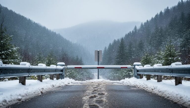
Checking advisories before that gate blocks your planned route saves wasted driving and real danger. If US 441 stays closed and your lodging is on the Tennessee side while you hoped to explore North Carolina trails, you’ll need alternate routes adding hours to your trip. Visitor center closures also mean no last-minute permit pickups, trail maps, or ranger advice, resources Ontario park visitors often take for granted.
The broader lesson applies everywhere: trail condition advisories exist because conditions genuinely threaten safety or resource damage. Ignoring them doesn’t demonstrate rugged independence; it forces rangers into dangerous rescues and damages fragile ecosystems. When high winds close Cades Cove, falling limbs could kill someone. When ice seals Newfound Gap Road, attempting it risks your vehicle and everyone you’d force to rescue you.
If your trip’s derailed, research where to go instead lower-elevation Smokies trails or entirely different destinations, rather than gambling on closed routes reopening. Flexibility and respect for advisories protect you and preserve these mountains for future visits.
What to Watch: When Trails May Reopen
The park’s reopening timeline depends on two factors: when the winter storm clears and how quickly maintenance crews can assess trail safety. Great Smoky Mountains National Park doesn’t announce specific reopening dates during active weather events because conditions change hour by hour. Roads and trails reopen only after crews confirm that ice has melted, downed trees are cleared, and surfaces are safe for visitors.
For real-time updates on when closures lift, monitor these official channels:
- Great Smoky Mountains National Park website homepage for closure alerts and status updates
- Park Service Twitter and Facebook accounts posting condition changes as they happen
- Automated park information line at 865-436-1200 for recorded closure announcements
- NPS mobile app with push notifications for immediate reopening alerts
Insider tip: Check conditions before dawn if you’re planning an early start. Park crews often complete safety assessments overnight, and roads may reopen by sunrise following overnight temperature improvements. The park typically lifts closures in phases, starting with main roads like Newfound Gap before opening secondary routes and backcountry trails.
If your trip overlaps with closure periods, build flexibility into your itinerary. Book refundable accommodations when winter weather threatens, and have backup plans for lower-elevation hikes outside the park. These same principles apply anywhere you travel for outdoor recreation. Just as winter grooming tips help Ontario visitors time their cross-country ski outings, tracking official park updates lets you pivot quickly when conditions improve and trails reopen safely.
Trail Closure Lessons for Ontario Park Visitors
The lessons from Smoky Mountains closures apply directly to Ontario’s provincial and national parks, where winter storms and ice conditions can shut down trails just as suddenly. Whether you’re heading to Algonquin, Killarney, or Bruce Peninsula, the same principles hold: check official advisories before you leave home, pack for worse conditions than forecasts suggest, and respect closures when parks implement them. Ontario’s Trail Conditions, Closures and Grooming Advisory systems exist for the same safety reasons that prompted the Smokies shutdown, protecting both visitors and sensitive ecosystems during vulnerable periods.
Winter trail closures serve a dual purpose beyond immediate safety. Frozen ground may seem solid, but foot traffic during freeze-thaw cycles damages root systems, compacts soil, and creates erosion channels that worsen with spring melt. When parks close trails during severe weather, they’re preventing long-term habitat degradation that takes years to repair. Staying off closed trails isn’t just about following rules; it’s an eco-friendly practice that preserves the wilderness experiences future visitors will enjoy.
How do I check trail conditions before visiting?
Visit the park’s official website or call their main office directly for current conditions. Social media pages often post real-time updates during active weather events.
What should I do if trails close while I’m already there?
Head to your vehicle immediately using the safest available route, even if it means turning back partway through a hike. Park staff close trails when conditions have become genuinely dangerous.
Are closures common in winter?
Yes, especially after ice storms, heavy snowfall, or rapid temperature swings. Winter closures protect both hikers and trail infrastructure from preventable damage.
What gear is essential for winter park visits?
Traction devices like microspikes, extra insulation layers, a headlamp with fresh batteries, and emergency shelter materials should be standard even for short winter hikes.
For winter hiking, reduce your environmental footprint by sticking to established trails and avoiding shortcuts that trample vegetation beneath the snow. Pack out everything you bring in, including food waste that wildlife might be tempted to scavenge when natural food sources are scarce.
Whether you’re navigating winter closures in the Smokies or checking conditions closer to home in Ontario, the lesson remains the same: current, accurate information saves trips and lives. The recent winter storm closures at Great Smoky Mountains National Park demonstrate why checking official park advisories before any outing isn’t just good practice, it’s essential. Respecting closures protects both you and the fragile ecosystems struggling through severe weather, preventing soil erosion on vulnerable trails and giving wildlife undisturbed space during stressful conditions.
Every closure lifts eventually. Snow melts, ice clears, and roads reopen. The trails will be there when conditions improve, often in even better shape thanks to maintenance crews working behind closed gates. Use this time to refine your plans, research alternative routes for future visits, and deepen your understanding of what makes these protected spaces worth the wait. Responsible outdoor recreation means accepting that nature sets the schedule, not our calendars. When Great Smoky Mountains National Park announces reopenings, you’ll be ready with a well-researched itinerary and the patience that marks experienced trail users. The mountains reward those who respect their terms.





+ There are no comments
Add yours