Categories
Advisories, Conditions and Closures

What That Smoke Really Means for Your Ontario Camping Trip
Estimated read time 13 min read

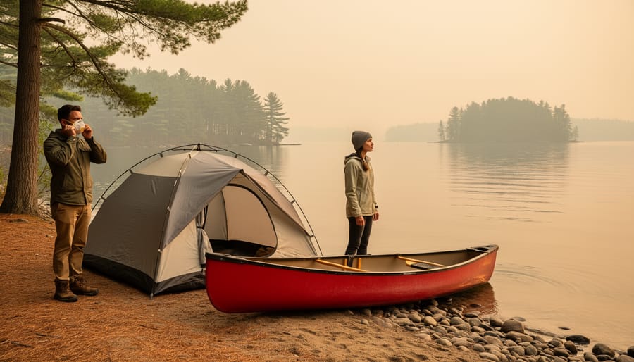
Check Environment Canada’s Air Quality Health Index before heading out—ratings above 7 mean wildfire smoke has arrived, and you’ll need to adjust your plans accordingly. Download the mobile app or bookmark the provincial fire information map to monitor active fires near your destination, since smoke can travel hundreds of kilometers from the burn site and transform a pristine hiking day into a hazy, throat-burning experience.
Recognize the warning signs once you’re outside: if you can smell smoke, see a visible haze reducing visibility, or notice ash falling like grey snow, the air quality has deteriorated enough…
Categories
Advisories, Conditions and Closures

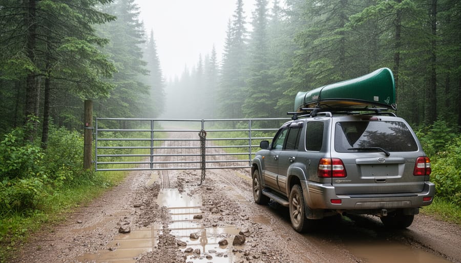
What You Need to Know Before That Gate Blocks Your Adventure

Estimated read time 12 min read

Picture this: You’ve mapped out the perfect weekend getaway to Algonquin Park, loaded up the car with camping gear, and you’re ready to hit the road. Then you discover the public access road to your chosen destination is closed, and suddenly your carefully laid plans unravel. Sound familiar?
Public access roads are the arteries that connect you to Ontario’s stunning natural spaces, but they’re not your typical paved highways. These routes wind through remote wilderness areas, crossing streams, navigating rugged terrain, and exposing themselves to the full force of Ontario’s dramatic weather patterns. …

Categories
Advisories, Conditions and Closures

What Flood Warning Zones Mean for Your Ontario Paddling Trip

Estimated read time 10 min read

Check Ontario’s flood warning systems before heading out—the province’s Conservation Authorities issue three alert levels that directly impact whether your camping trip or paddling adventure should proceed. A Flood Watch means conditions are favorable for flooding, a Flood Warning indicates flooding is imminent or happening, and a Watershed Conditions Statement provides general updates about water levels and flows.
Picture this: You’ve packed your canoe, loaded the camping gear, and driven two hours to your favorite put-in spot, only to find the river transformed into a churning brown torrent that’s …

Categories
Advisories, Conditions and Closures

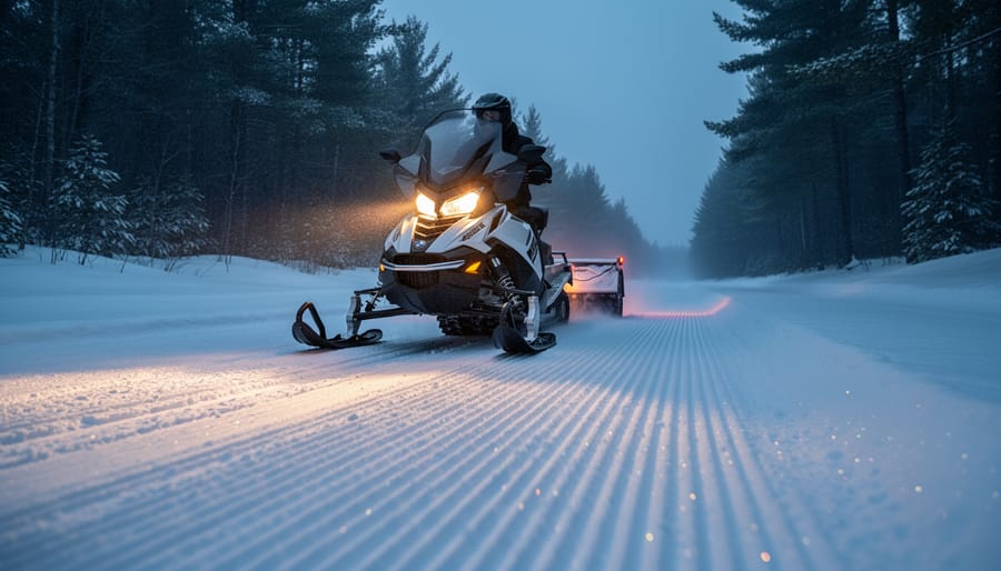
Why Trail Grooming Snowmobiles Keep Ontario’s Winter Trails Safe (And When They’re Running)

Estimated read time 13 min read

Check grooming reports before heading out—most Ontario snowmobile clubs post daily updates on their websites and social media showing which trails received fresh grooming overnight. Fresh corduroy makes all the difference between a smooth, exhilarating ride and a bumpy, exhausting slog through moguls and ruts.
Trail grooming transforms packed snow into that gorgeous rippled surface using specialized drags pulled behind heavy snowmobiles, typically running between midnight and dawn when temperatures drop and fewer riders are out. These dedicated volunteers smooth out bumps, fill in holes, and create the firm, even surface that …

Categories
Advisories, Conditions and Closures

Why Your Favorite Trail Is Suddenly Blocked (And Where to Go Instead)

Estimated read time 13 min read

Check your local municipality’s traffic or transportation website immediately – most cities maintain real-time closure maps and digital dashboards showing which bridges are temporarily unavailable and estimated reopening dates. Download navigation apps like Google Maps or Waze that automatically reroute you around closures, saving frustration during your commute or while heading to Ontario’s beautiful parks and trails.
Bridge closures happen for essential reasons that keep you safe: routine inspections catch structural issues before they become dangerous, seasonal maintenance addresses weather damage from harsh …

Categories
Advisories, Conditions and Closures

Fire Restrictions in Arizona Today: What Ontario Campers Need to Know Before Heading South

Estimated read time 12 min read

Check Arizona’s official fire restrictions at azstateparks.com or the Forest Service website before you pack your camping gear—restrictions change daily during fire season, and what was permissible yesterday might land you with a hefty fine today. Download offline maps showing current restriction zones since cell service disappears quickly in Arizona’s backcountry, and screenshot the specific regulations for the county you’re visiting.
Planning a southwestern adventure from Ontario means encountering an entirely different fire reality than back home. While you’re used to campfires crackling beside Muskoka …