
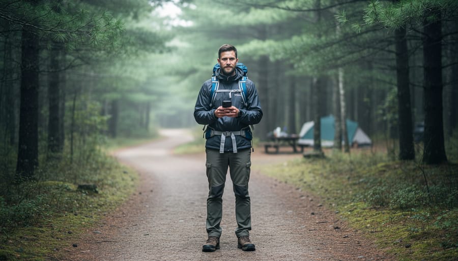
When you see “H+” on your phone in an Ontario provincial park, you’re connected to HSPA+ (High Speed Packet Access Plus), a 3G technology that delivers reliable basic connectivity for messaging, navigation, and light browsing, though it won’t handle video calls or heavy data tasks. For park visitors in 2026, H+ coverage often appears in remote sections of parks where newer 4G LTE and 5G networks haven’t reached, making it a common sight once you venture beyond trailheads and main campgrounds.
Here’s what matters: H+ service works perfectly fine for checking trail maps, sending texts to let family know you’ve arrived safely, and loading weather updates. What it doesn’t handle well is streaming music on the paddle out, uploading photos to social media in real time, or making FaceTime calls from your backcountry site. Think of it as your safety net rather than your entertainment hub.
The coverage reality across Ontario’s provincial parks varies dramatically by carrier. Bell, Rogers, and Telus generally offer the most extensive networks in provincial parks, with their HSPA+ footprints reaching deeper into wilderness areas than their competitors. Freedom Mobile and regional carriers typically provide H+ coverage only near park entrances and popular day-use areas. If you’re planning a canoe trip into Algonquin’s interior or hiking the coastal trails of Lake Superior Provincial Park, that H+ signal represents your last thread of connectivity before you go fully off-grid.
Smart park visitors download offline maps, cache important documents, and send their “I’m here” messages while H+ is still available. That little plus sign means you’re still connected, just differently.
Understanding H+ Service in Ontario’s Parks
H+ is the symbol your phone displays when connected to HSPA+ (High-Speed Packet Access Plus), a 3G technology that predates 4G LTE and 5G networks. While urban Ontario has largely moved to faster standards, HSPA+ remains active across many provincial parks and wilderness areas where carriers haven’t upgraded infrastructure. You’ll see the H+ indicator when your device can’t find a stronger LTE or 5G signal, which happens frequently once you leave major highways and populated areas.
The practical difference matters for park visitors. HSPA+ typically delivers download speeds between 5-14 Mbps under good conditions, compared to 30-100+ Mbps for LTE and even faster speeds on 5G networks. Upload speeds run slower still, often 2-5 Mbps on H+. That gap affects what you can actually do: text messages, emails, and basic web browsing work fine, but streaming video or uploading photos takes patience. The HSPA+ vs LTE differences extend beyond speed to latency as well, meaning apps feel less responsive on H+ connections.
In Ontario’s rural regions, the major carriers maintain HSPA+ coverage at different levels. Rogers and Bell have the most extensive H+ networks covering remote park areas, built during the 3G expansion era and still maintained as fallback coverage. Telus shares infrastructure with Bell in many locations, offering similar reach. Freedom Mobile’s rural coverage remains more limited, often dropping to no service rather than maintaining H+ in distant parks. These networks stay operational because they provide essential voice and emergency services where upgrading to LTE towers isn’t economically viable, and because many devices automatically fall back to H+ when stronger signals aren’t available.
Where You’ll Encounter H+ Coverage
Checking Coverage Before Your Trip
Before you head to any Ontario park, spend ten minutes checking your carrier’s coverage map, it’ll save you from surprise disconnections and help you pack the right offline resources. Every major Canadian carrier offers an interactive map that shows exactly which network type (5G, 4G LTE, or HSPA+) you’ll get at specific locations.
Rogers, Bell, and Telus all maintain detailed coverage maps on their websites where you can zoom into individual parks and see the network layers. Look for the toggle options that let you switch between different service types. Freedom Mobile provides a coast to coast coverage map that’s particularly useful for comparing your options if you’re considering switching carriers before a trip.
Here’s the trick most visitors miss: don’t just look at whether there’s “coverage” marked on the map. Zoom in close enough to see which type of coverage. That green shading might represent solid LTE near the park entrance but switch to H+ (HSPA+) once you’re two kilometres down the trail. Pay attention to the legend and any notation about extended coverage areas, which often rely on older network technology.
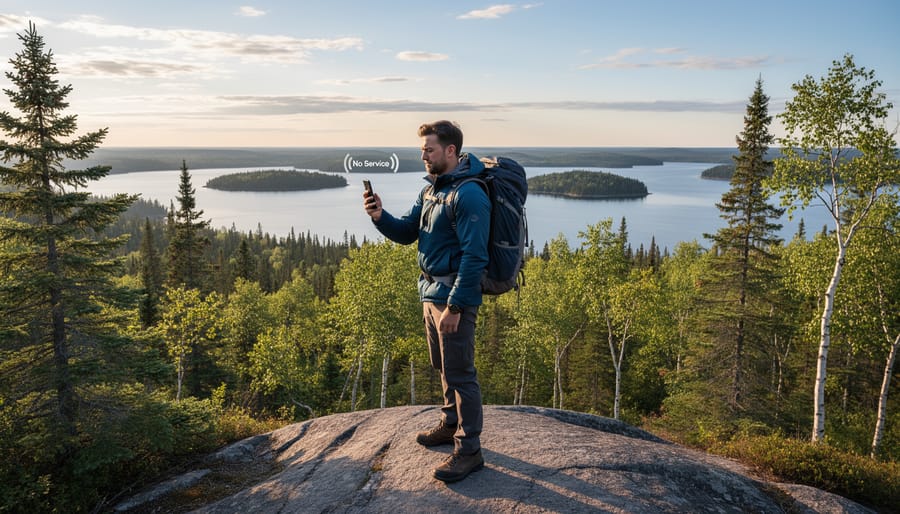
If your planned campsite or trailhead sits right on the edge of a coverage zone, assume you’ll drop to H+ or lose service entirely. Buildings, valleys, and dense forest all weaken signals beyond what the maps predict. Download your maps, trail guides, and any reservation confirmations while you’ve still got strong signal at home.
What H+ Service Can (and Can’t) Do for You
When you’re standing at a trailhead in a remote Ontario park and your device shows H+, it helps to know exactly what that connection can handle. HSPA+ offers functional but limited connectivity that works best for essential tasks rather than data-heavy activities.
What Works Well on H+
Basic communication runs smoothly on HSPA+ networks. Text messaging, iMessage, and WhatsApp handle the small data packets without issue. Emergency calls connect reliably since voice services were HSPA+’s original strength. Email checking works fine as long as you’re not downloading large attachments. Simple web browsing for park information or weather updates loads within a few seconds per page.
GPS navigation functions surprisingly well on H+ because location services need minimal bandwidth. Your Maps app can track your position and provide turn-by-turn directions once the route downloads. Offline map apps like or Gaia GPS work even better since they don’t require continuous data.
Where H+ Struggles
Video streaming becomes frustrating on HSPA+ networks. Netflix, YouTube, and social media video posts either won’t load or buffer constantly, even at the lowest quality settings. Video calls through FaceTime, Zoom, or similar apps typically fail or freeze within seconds. Uploading photos to Instagram or Facebook takes minutes per image, and higher-resolution shots may time out entirely.
| Activity | H+ Performance | 4G LTE | 5G |
|---|---|---|---|
| GPS Navigation | Good | Excellent | Excellent |
| Emergency Calls/Texts | Excellent | Excellent | Excellent |
| Photo Uploads | Slow (2-5 min) | Fast | Very Fast |
| Video Streaming | Poor/Fails | Good | Excellent |
Insider Tips for Optimizing H+ Connectivity
If your phone keeps failing to complete tasks on H+, try switching to airplane mode for 30 seconds then reconnecting. This forces your device to find the strongest available signal. Disable automatic app updates and background refresh to preserve bandwidth for tasks you actually initiate. Close unused apps completely rather than leaving them running in the background consuming data.
For photo sharing, wait until you return to 4G LTE coverage or park visitor centers with Wi-Fi. The time saved and frustration avoided make it worth the delay.
Carrier Differences Across Ontario Parks
Not all carriers are created equal when it comes to HSPA+ coverage in Ontario’s provincial parks and remote wilderness areas. Your choice of provider can significantly impact your connectivity experience during park visits.
Rogers and Bell typically maintain the most extensive rural HSPA+ networks across Ontario. Both carriers invested heavily in HSPA+ infrastructure before the 5G era and continue to support these networks as fallback coverage in areas where newer technology hasn’t reached. You’ll find their H+ signals in deeper wilderness zones of popular parks like Algonquin, Killarney, and Frontenac. Telus shares infrastructure with Bell in many regions, offering comparable rural coverage.
Freedom Mobile presents a different story. While the carrier has expanded aggressively in urban centers, its rural footprint remains limited. Freedom subscribers often encounter partner roaming or no service at all in provincial parks, rather than H+ coverage. If you’re planning extended wilderness stays or RV trip planning Freedom may not provide the reliable connectivity you need.
The practical difference shows up most clearly in backcountry scenarios. A Rogers customer might maintain H+ service several kilometers down a portage route, while a Freedom customer loses signal at the parking lot. Check your specific carrier’s coverage map before assuming H+ will be available. Look for the HSPA+ or 3G layer on these maps, not just the general coverage indicator, since carriers sometimes show optimistic coverage zones that only apply to their newest technology.
Planning for Limited or H+-Only Connectivity
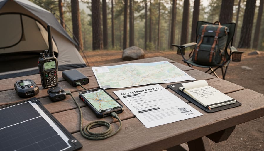
Head into Ontario’s parks prepared for spotty connectivity, and you’ll enjoy your visit more than those frantically waving phones in search of signal. When you know H+ might be your only option, smart preparation keeps you safe and informed without chaining you to a device.
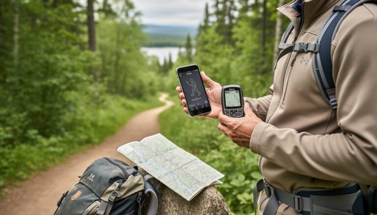
Start by downloading offline maps before you leave home. Google Maps lets you save specific regions for offline use, while apps like Gaia GPS and AllTrails offer detailed topographic maps and trail information that work without any signal. Load these over Wi-Fi the night before, covering a wider area than you think you’ll need. Download trail guides, park regulations, and any permits to your device as PDFs. If you’re planning to explore accessible trails, grab those specific maps and accessibility details ahead of time.
Share your complete itinerary with someone reliable who’s staying home. Include your planned route, campsites, expected return time, and your vehicle description. This person becomes your safety net if H+ service fails entirely in backcountry zones. Text them when you arrive at the park entrance and again when you leave, using whatever connectivity you can find.
Consider a satellite communicator like a Garmin inReach for genuine peace of mind. These devices work anywhere and send SOS alerts plus basic messages regardless of cellular coverage. They’re worth the investment if you’re heading deep into provincial parks where even H+ drops off.
Pack a portable battery pack, since your phone will drain faster searching for stronger signals. Download entertainment like podcasts or e-books for evening downtime, then embrace the opportunity to unplug. Limited connectivity isn’t a bug in the Ontario parks experience, it’s often the feature that lets you actually disconnect and recharge.
Common Questions About H+ in Ontario Parks
Visitors exploring Ontario’s parks often have practical questions about what H+ service means for their outdoor experience. Here’s what you need to know about connectivity in areas where HSPA+ networks serve as your primary connection.
Will H+ work for GPS navigation on trails?
Yes, H+ provides sufficient data speed for GPS functionality and basic mapping apps. Your phone’s GPS chip works independently of cellular data, so you can track your location even with minimal signal, though downloading offline maps before your trip ensures navigation works regardless of coverage fluctuations.
Can I make emergency calls on H+ networks?
Emergency calls function reliably on H+ service throughout Ontario parks. Voice calls are well-supported on HSPA+ networks, and emergency services (911) receive priority routing even during periods of network congestion or weak signal strength.
Why does my phone keep switching between H+ and LTE?
Your device automatically connects to the strongest available signal, which changes as you move through different coverage zones in parks. Border areas between network types experience frequent switching between H+ and LTE as your phone searches for the best connection, sometimes causing brief interruptions in data service.
How long will H+ networks remain active in Ontario?
Canadian carriers continue maintaining HSPA+ infrastructure in rural areas through at least 2026, with no announced shutdown dates for these networks. The technology serves as an essential connectivity layer in regions where 5G and LTE deployment remains economically challenging for carriers.
Understanding these practical realities helps you set appropriate expectations for park visits. H+ service handles essential communication needs reliably, from safety check-ins with family to accessing trail information and weather updates. The technology excels at voice calls and text-based communication, making it perfectly adequate for most park visitor needs beyond entertainment streaming or intensive data tasks. Planning your connectivity strategy around these capabilities means you can stay appropriately connected without frustration when exploring Ontario’s more remote protected areas.
H+ service isn’t disappearing from Ontario’s parks anytime soon. While 5G dominates urban centres, HSPA+ remains the primary network in many backcountry areas and remote provincial parks throughout 2026. It’s a functional tool for messaging, navigation, and emergency communication when you understand its limitations.
Before you head out, spend five minutes checking your carrier’s coverage map for the specific park you’re visiting. Look for the HSPA+ layer alongside 4G LTE and 5G indicators to set realistic expectations. Download offline maps and trail guides at home, then treat any connectivity as a bonus rather than a guarantee.
Many park visitor centres now offer public Wi-Fi as an alternative for checking weather updates or sending quick messages before hitting the trails. These access points give you a reliable connection point without depending on cell coverage throughout your trip.
The best park experiences happen when you balance staying reachable with staying present. H+ gives you enough connectivity for safety and practical needs without the constant pull of social media and streaming. Check in when needed, then pocket your phone and focus on why you came to the wilderness in the first place.


+ There are no comments
Add yours