
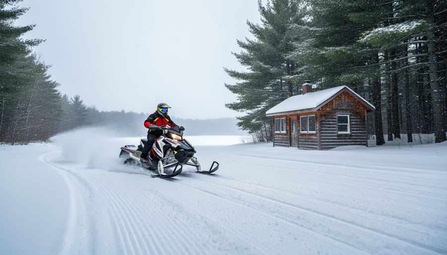
New Hampshire’s official interactive snowmobile trail map is free to access at, where you’ll find the complete 7,000-mile network updated with 2022 trail changes and all the tools you need to chart your ride. Whether you’re planning a weekend getaway from Ontario or scoping out a week-long circuit through the White Mountains, this digital map shows real-time trail conditions, parking areas, and club-maintained routes that connect small towns, warming huts, and scenic overlooks across the state.
The system isn’t just impressive for its size. What makes New Hampshire special is the grassroots effort behind it: thousands of private landowners open their property to riders, and dedicated club volunteers groom and maintain every mile. Pittsburg Ridge Runners alone, the state’s largest club, oversee more than 200 miles of groomed trails in the Great North Woods region. That spirit of community access means you’re riding through working forests, past family farms, and along corridors that simply wouldn’t exist without those partnerships.
For riders used to Ontario’s trail networks, crossing into New Hampshire opens up a different kind of terrain. The Granite State offers tighter, more technical woodland trails mixed with wide-open lake crossings and mountain passes that test your skills and reward you with views you won’t forget. The free online map makes it easy to identify which clubs maintain each section, check trail numbers for navigation, and piece together routes that match your group’s experience level and time frame.
Why New Hampshire’s Trail System Is Worth Exploring
New Hampshire’s snowmobile trail network stands out for one fundamental reason: it’s a genuine partnership between riders, volunteers, and private landowners who believe in shared access. The system spans 7,000 miles of trails maintained entirely by local club volunteers who groom, mark, and monitor routes throughout the season. Without the thousands of private property owners who open their land to snowmobilers, this massive network wouldn’t exist.
What keeps riders coming back is the sheer variety of terrain. Southern trails wind through hardwood forests and rolling hills with easier access from major routes, while northern wilderness areas offer remote backcountry riding where you can travel for hours without crossing a paved road. The White Mountains provide steep climbs and technical sections, and the Connecticut River Valley corridor connects everything together with scenic, flowing trails that link into Vermont’s network.
The free online mapping tool at makes trip planning straightforward. You can zoom into any region, identify which clubs maintain specific sections, and see how trails connect across club boundaries. The 2022 trail updates keep the system current, so you’re working with reliable information when you’re sketching out a route.
Loop itinerary planning becomes intuitive once you understand how the network connects. Trails form natural circuits through different club territories, letting you design anything from a 50-mile day ride to a week-long expedition that brings you back to your starting point without retracing the same path. The combination of trail density, connectivity between clubs, and varied terrain means you can ride NH for years and still discover new loops worth exploring.
Using the Free NH Snowmobile Trail Map
The interactive map at is your starting point for planning any New Hampshire snowmobile adventure. Unlike static paper maps, this free online tool lets you zoom into specific regions, identify individual trail markers, and see exactly where one club’s territory ends and another begins. The 2022 trail updates are already integrated, so you’re working with current information as you sketch out your routes.
Start by familiarizing yourself with the map’s zoom levels. At the widest view, you’ll see the entire 7,000-mile network spanning the state, which helps you identify major corridors and understand how different regions connect. Zoom in closer, and trail markers become visible, showing numbered routes and intersections where you can change direction or link trails into longer loops. Club boundaries appear as distinct zones, each maintained by local volunteers who know their terrain intimately.
The map displays several planning features that become especially useful when you compare trail maps from different snowmobiling regions:
| Feature | What It Shows | Planning Benefit |
|---|---|---|
| Trail view options | Terrain type and difficulty | Match routes to rider skill level |
| Club boundaries | Maintenance zones and contacts | Know which club maintains each segment |
| Trail markers | Numbered routes and intersections | Trace specific paths for loop itineraries |
| Mobile accessibility | Responsive design for smartphones | Reference map while riding |
For loop planning, trace your intended route by following trail numbers from your starting point through various intersections and back. The map won’t automatically calculate loops for you, but by clicking along potential routes and noting trail numbers, you can sketch a circuit that hits the regions you want to explore. Some riders screenshot sections of the map for offline reference, though cell coverage varies in northern areas.
The club boundary feature matters more than you might expect. When you cross from one club’s territory into another, you’re moving between different volunteer teams who maintain their sections on different schedules. Knowing these boundaries helps you understand trail conditions and identify which clubs to contact for real-time grooming updates before you head out.
Top Trail Areas for Loop Itineraries
1. Pittsburg Ridge Runners Territory
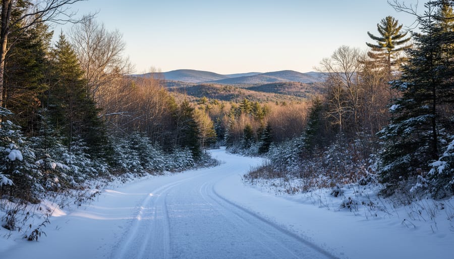
The Pittsburg Ridge Runners territory spans the remote northern reaches of New Hampshire where the trail map reveals a true wilderness riding experience. As the state’s largest snowmobile club, they maintain over 200 miles of groomed trails that wind through vast stretches of forest, frozen waterways, and isolated back country. This region anchors many extended loop itineraries because the trail density here connects seamlessly with neighboring club networks, riders can easily link Pittsburg routes with corridors heading south into the White Mountains or west toward the Vermont border, similar to how U.P. snowmobile loops offer multi-day circuit options across Michigan’s Upper Peninsula.
The terrain up here rewards riders who crave solitude and unbroken miles. You’ll cross frozen lakes, climb rolling ridges with views extending into Canada, and ride long straightaways where the only sound is your sled. The trail network’s volunteer maintenance keeps these paths consistently groomed throughout the season, making it reliable for planning multi-day adventures. Because Pittsburg sits in the snowbelt and holds snow longer than southern regions, it’s a natural starting or ending point for ambitious loop itineraries that want to maximize ride time on quality trails.
2. Connecticut River Valley Corridor
The Connecticut River Valley Corridor runs the length of New Hampshire’s western edge, creating a natural snowmobiling highway that connects dozens of clubs from the Massachusetts border north to Canada. What makes this corridor exceptional for loop planning is its dual access, you’re riding the spine between two states, which means at any point you can cross into Vermont’s trail system and back, essentially doubling your route options without backtracking.
The valley terrain here is forgiving compared to the White Mountains. You’ll follow rolling farmland, frozen riverbeds, and wooded hillsides with gradual elevation changes that keep speeds consistent and grooming effective. Multiple clubs share maintenance responsibilities along the corridor, so trail quality stays reliable across club boundaries. This continuity matters when you’re stitching together a 150-mile loop over two days, you won’t hit dead ends or poorly maintained gaps that force route changes.
For extended itineraries, the corridor serves as your backbone. Start from any access point along Route 10 or Route 3, ride north or south on the valley trails, then cut east into the White Mountains or west across the river into Vermont. You can create figure-eight loops, vertical circuits that climb into mountain territory and return through the valley, or straight border-to-border runs with overnight stops in trail towns. The interactive map shows exactly where clubs meet and which connectors bridge the two states, making it simple to design routes that maximize variety while staying on groomed trails the entire way.
3. White Mountains Region
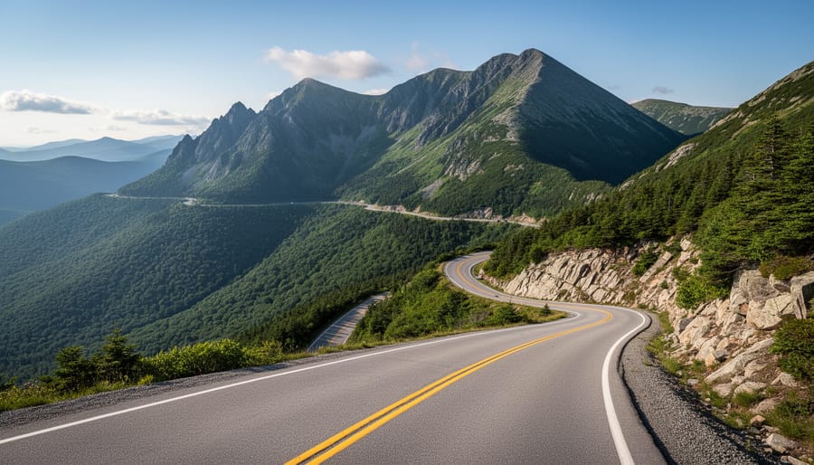
The White Mountains region delivers some of New Hampshire’s most dramatic snowmobiling, with trails that climb through spruce forests, cross windswept ridges, and drop into sheltered valleys. Elevation changes here aren’t subtle, you’ll feel the engine work as you ascend mountain passes and experience long descents that reward the effort with panoramic views of snow-covered peaks. This terrain attracts riders who want more than flat cruising and appreciate technical variety in their loop planning.
Trail density in the White Mountains is substantial, with multiple clubs maintaining interconnected routes that let you design loops of almost any length. You can build a compact 50-mile circuit that stays within one valley system or stretch a multi-day itinerary across several mountain ranges, linking different club territories as you go. The interactive map at makes it easy to trace these connections, showing how trails weave between towns like Lincoln, Conway, and Gorham while crossing elevations that range from valley floors to ridgeline runs.
What sets this region apart is the sheer variety within a relatively contained area. A single day’s loop can include groomed logging roads, narrow woodland trails, open meadow crossings, and challenging mountain grades. Weather and snow conditions shift with altitude, so riders often encounter deep powder at higher elevations even when lower trails are packed firm. That variability keeps White Mountains loops interesting ride after ride, you’re rarely covering the same terrain twice, and the mountain backdrop ensures the scenery constantly evolves as you move through the system.
4. Lakes Region Trails
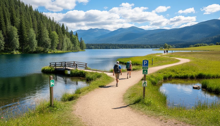
The Lakes Region draws riders who want scenic variety without committing to long-distance wilderness runs. Trails here weave through the state’s most recognizable waterfront communities, crossing frozen lakes and following shorelines that reveal classic New England village scenes. You’ll encounter gentler terrain than the White Mountains, rolling hills rather than steep climbs, making this area approachable for riders testing their skills or those looking to cover ground without constant technical challenges.
What sets this region apart is proximity. Most trails sit within two hours of major population centers, which means you can trailer in Friday evening and ride Saturday morning without burning half your weekend on the road. The trail network connects multiple lakes, Winnipesaukee, Squam, and smaller bodies, creating natural loop opportunities that range from 30 to 80 miles. These shorter circuits work perfectly for day rides or relaxed weekend itineraries where you’d rather spend time exploring lakeside stops than pushing mileage.
Trail density here supports spontaneous route changes. If conditions look better on the eastern shore or you want to detour into a village for lunch, the interconnected system gives you options. Just remember that southern trails see heavier use and can vary more with temperature swings, so check recent grooming reports before heading out.
Planning Your Loop Itinerary
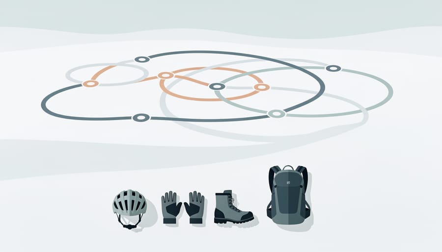
Planning a snowmobile loop requires balancing ambition with reality. Start by choosing a realistic daily mileage, most riders comfortably cover 100 to 150 miles per day, though experience and terrain affect this significantly. Use the interactive map at to measure distances between points and identify where different club territories connect. Zoom in on your planned route to check trail density and look for alternative paths in case conditions change.
Consider these key factors when designing your route:
- Daily mileage targets based on group experience and desired pace
- Fuel range of your sled and locations of gas stations along the trail
- Lodging availability at logical stopping points for overnight trips
- Weather windows and forecast reliability for your chosen dates
- Trail grooming schedules, which vary by club and day of week
- Group skill levels and comfort with challenging terrain
Refueling deserves special attention. Identify gas stops before you ride, not all trail-accessible stations appear on standard GPS apps. The interactive map shows trail proximity to towns, but call ahead to confirm hours and pump availability. For multi-day loops, plot overnight stops where lodging aligns with your daily distance goals rather than forcing an awkward stretch or cutting a day short.
Build flexibility into your loop itinerary planning. Weather can close trails, grooming delays happen, and mechanical issues arise. Identify bailout routes and shorter alternatives using the map’s club boundary markers, knowing which club maintains each section helps when you need current trail condition updates. Pack gear for long trips and keep contact information for local clubs handy. The volunteer-maintained system means conditions evolve daily, so treat your planned loop as a flexible framework rather than a rigid schedule.
Getting There and Trail Access
Accessing New Hampshire’s trail system from Ontario requires crossing the border with your snowmobile, either trailered or, if you’re near border crossings like Cornwall, Massena, potentially riding through. Bring your passport, vehicle registration, and proof of trailer insurance. Before you leave, review Ontario winter route tips to prepare for cross-border winter travel logistics.
Once in New Hampshire, you’ll find trailer-friendly parking at many trailheads, particularly near club headquarters and popular staging areas. The free interactive map at helps identify access points, though calling ahead to local clubs confirms current conditions and parking availability.
Registration is straightforward: out-of-state riders need a New Hampshire registration or a valid OHRV registration from their home state that’s recognized through reciprocity agreements. Check the New Hampshire Fish and Game website for current requirements before your trip.
Respect is non-negotiable. The 7,000-mile system exists because thousands of private landowners generously allow access to their property. Stay on marked trails, close all gates, avoid private driveways, and never ride across lawns or fields. Club volunteers work year-round maintaining these routes, your cooperation keeps trails open for everyone. If a trail’s closed or rerouted, honour the signage immediately.
Local Tips from the Trail Community
The riders you’ll meet on NH trails all share one thing in common: they know this 7,000-mile network exists because of people’s generosity. Thousands of private landowners allow trails to cross their property, and club volunteers spend countless hours grooming and maintaining routes throughout the winter. When you’re planning your loop itinerary, remember that supporting local businesses along the trail isn’t just convenient, it’s how trail towns survive the quiet season. Stop for fuel, grab lunch at a snowmobile-friendly restaurant, and consider staying overnight at lodges that cater to riders. Your spending directly supports the communities that welcome snowmobilers.
Stay on marked trails, pack out everything you pack in, and avoid riding when conditions are marginal, tearing up barely-covered ground damages landowner property and strains the goodwill that makes this system work. Check trail status updates before you head out, since conditions change quickly and clubs post closures on their websites and social media. If you ride regularly in New Hampshire, join a club or make a donation. The groomer fuel, equipment repairs, and signage all cost money, and your contribution keeps the trails in top shape. Ride quietly near homes and wildlife areas, give back when you can, and treat every landowner’s property like the gift it is.
Common Questions About NH Snowmobile Trails
Riders planning trips to New Hampshire’s trail system often have similar questions about how the map works, what access rules apply, and how to make the most of the 7,000-mile network. Here are answers to the most common questions from the snowmobiling community.
Is the NH Snowmobile Trail Map really free to use?
Yes, the online interactive map at is completely free and accessible to anyone planning rides in New Hampshire. There’s no subscription or registration required to view trail routes, club boundaries, and system updates.
How current is the trail information on the map?
The interactive map includes 2022 trail updates provided by local clubs, making it reasonably current for planning purposes. Trail conditions change with weather and maintenance schedules, so check with individual clubs for real-time grooming reports before heading out.
Can I ride across different club territories?
Yes, New Hampshire’s trail system is designed for connectivity across club boundaries. With proper registration and respect for landowner agreements, you can travel seamlessly between territories maintained by different clubs throughout the state.
Do I need to join a local snowmobile club to ride?
Club membership isn’t mandatory for riding, but valid registration is required. Joining a club supports the volunteers who maintain trails and groom the routes you’ll be riding, plus many clubs offer members detailed condition updates and local knowledge.
Understanding that club volunteers maintain the entire system helps explain why trail conditions vary. These dedicated locals work throughout the season to keep routes groomed and safe, but heavy use or sudden weather changes can affect quality between grooming runs. The largest clubs like Pittsburg Ridge Runners, which maintain over 200 miles of trails, typically have regular grooming schedules posted on their websites or social media channels.
The partnership with landowners who open their property for snowmobiling means respecting posted boundaries and staying on marked trails is essential. This goodwill makes the extensive network possible and ensures continued access for future seasons.
New Hampshire’s 7,000-mile snowmobile trail network stands out because it’s built on genuine collaboration. Thousands of landowners open their property to riders, and club volunteers spend countless hours grooming and maintaining trails so you can enjoy seamless loop itineraries across spectacular terrain. This isn’t a commercial operation, it’s a community effort that depends on riders respecting the land, supporting local businesses, and giving back where they can.
The free interactive map at makes trip planning straightforward. You can zoom into regions, trace connections between club territories, and design loops that match your skill level and time. Whether you’re chasing northern wilderness riding with Pittsburg Ridge Runners’ 200-plus miles or exploring gentler lake crossings down south, the tools are there to craft your own adventure.
Start with the map, respect the trail community, and ride responsibly. New Hampshire’s system rewards those who come prepared and leave it better than they found it. Your next memorable loop is waiting.





+ There are no comments
Add yours