

Venture into Ontario’s pristine wilderness, where over 2,000 backcountry campsites await across countless lakes, forests, and rugged Canadian Shield terrain. From the towering pines of Algonquin Provincial Park to the crystal-clear waters of Killarney, backcountry camping offers an unmatched escape into nature’s raw beauty. Whether you’re paddling through serene waterways, hiking remote trails, or seeking solitude in the wilderness, Ontario’s backcountry provides the perfect canvas for authentic outdoor adventures.
This comprehensive guide will walk you through everything you need to know about planning your backcountry expedition, from securing permits and essential gear to navigating the wilderness safely. With decades of combined experience from seasoned trail guides and park officials, we’ll share insider tips for choosing the perfect campsite, wildlife safety protocols, and leave-no-trace practices that help preserve these natural treasures for future generations.
Step into a world where cell signals fade and starlit skies reign supreme – Ontario’s backcountry awaits your discovery. Pack your sense of adventure, respect for nature, and willingness to embrace the unexpected. Your journey into the wild starts here.
Essential Navigation Tools for Ontario’s Backcountry
Maps and Compasses: Your Primary Tools
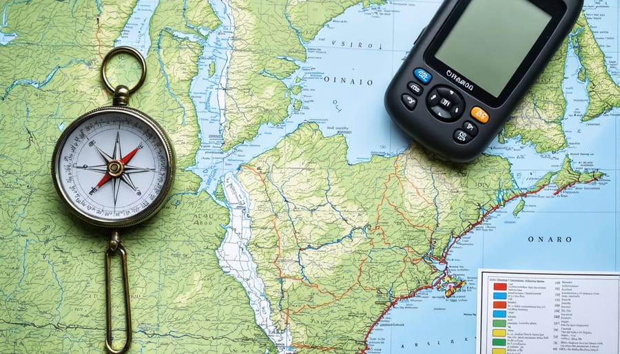
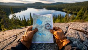
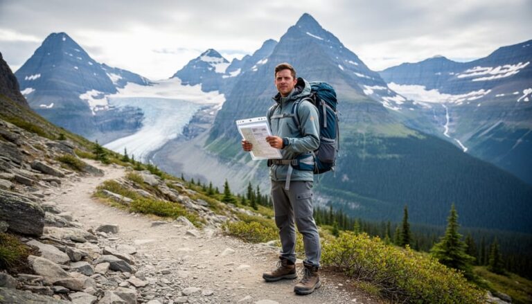
When venturing into Ontario’s backcountry, mastering traditional navigation methods is essential for a safe adventure. While technology is convenient, batteries die and signals fail, making topographic maps and compasses your most reliable companions.
Ontario’s provincial parks use 1:50,000 scale topographic maps, which show essential features like elevation changes, water bodies, and portage routes. Look for the National Topographic System (NTS) maps specific to your camping area – they’re marked with details unique to our region, including campsites and access points.
Your compass should be a reliable baseplate model with adjustable declination. Here in Ontario, magnetic declination varies significantly – from about 12 degrees west near Thunder Bay to 14 degrees west in Algonquin Park. Always adjust your compass accordingly before starting your trip.
Pro tip: Keep your map in a waterproof case and wear your compass on a lanyard. I learned this the hard way after dropping my map in Lake Superior! Store them separately from your phone or other electronic devices, as these can affect compass accuracy.
Practice using these tools before your trip by taking bearings between landmarks in your local park. Remember to check your position regularly during your journey, especially at trail intersections and shorelines. It’s better to confirm your location frequently than to realize you’re lost deep in the wilderness.
Digital Navigation Aids and Their Limitations
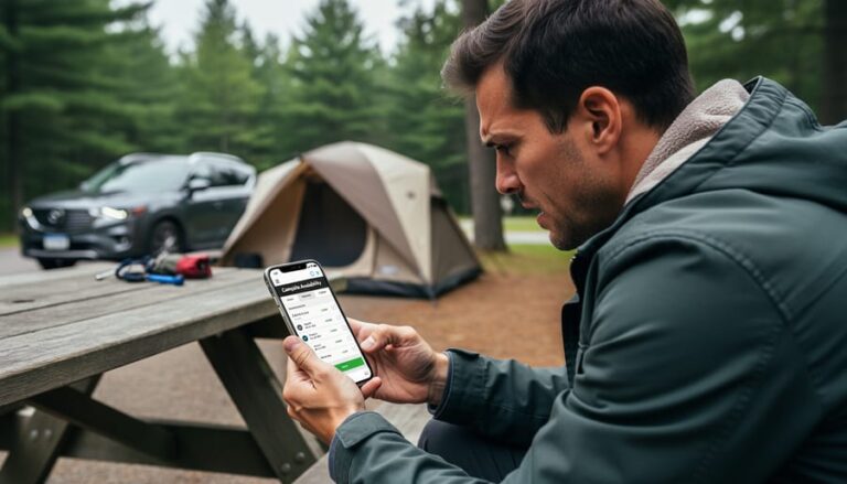
While modern technology has made backcountry navigation easier than ever, it’s essential to understand both the benefits and limitations of digital aids. GPS devices and smartphone apps like AllTrails, Gaia GPS, and Parks Canada offer detailed trail maps and real-time location tracking, making them valuable tools for backcountry navigation.
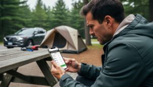
However, remember that technology isn’t foolproof in the wilderness. Battery life can be unpredictable, especially in cold weather, and signal reception can be spotty in dense forest areas or deep valleys. I learned this lesson firsthand when my phone died during a challenging portage in Algonquin Park – thankfully, I had my trusty map and compass as backup!
Pro tip: Download offline maps before your trip, and bring a portable battery pack for emergencies. Many experienced campers use apps like Avenza Maps, which works without cell service and allows you to download official Ontario Parks maps directly to your device.
While digital tools are incredibly convenient, they should always be considered secondary to traditional navigation methods. Think of your GPS or smartphone as a helpful assistant rather than your primary navigator. The best approach is to use digital aids alongside physical maps and a compass, creating a reliable navigation system that doesn’t depend solely on electronics.
Remember to protect your devices from the elements using waterproof cases, and always keep them warm during cold nights by storing them in your sleeping bag.
Reading Ontario’s Natural Landscape
Landmark Recognition in Canadian Shield Territory
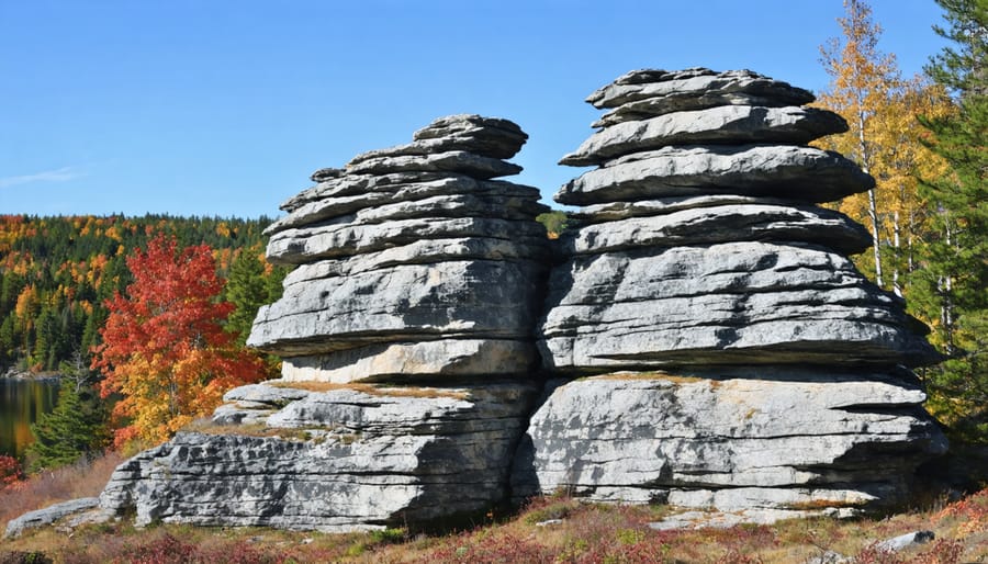
Navigating the Canadian Shield’s rugged terrain requires skill in identifying natural landmarks, and the good news is that this ancient landscape offers plenty of distinctive features to guide your way. Massive granite outcrops, often appearing as rounded domes or ridges, serve as excellent reference points. These iconic formations, sculpted by glaciers thousands of years ago, typically maintain consistent patterns that can help you track your direction.
Look for prominent white quartzite ridges, which stand out against the darker rocks and can be spotted from considerable distances. Water features are equally reliable markers – lakes in the Shield often follow north-south orientations, while streams typically flow southeast toward the Great Lakes.
Keep an eye out for large erratic boulders, those seemingly out-of-place rocks deposited by ancient glaciers. These unmistakable landmarks make excellent waypoints for tracking your progress. The Shield’s distinctive tree patterns can also guide you – stands of tall white pines often crown rocky hilltops, while cedar and hemlock typically cluster in lowland areas.
Pro tip: When you spot a useful landmark, take a moment to observe it from different angles. This helps you recognize it from various approaches, which is crucial when returning from a day hike or gathering firewood. I always snap a quick photo of significant landmarks on my phone, adding them to my navigation toolkit alongside my map and compass.
Remember to combine these natural markers with proper navigation tools. While landmarks are invaluable aids, they should complement, not replace, your map, compass, and GPS devices for safe backcountry travel.
Weather Patterns and Navigation Safety
Ontario’s backcountry weather can change rapidly, making it crucial to understand weather patterns for safe navigation. Summer afternoons often bring thunderstorms, while spring and fall can surprise you with sudden temperature drops. Always check the forecast before heading out and pack appropriate gear for various conditions.
A helpful tip I’ve learned from years of backcountry camping is to watch for nature’s warning signs. Dark, low-lying clouds, sudden wind changes, or unusual animal behavior often signal incoming weather changes. Keep an eye on the sky, especially during summer afternoons when storms typically develop.
Navigation becomes particularly challenging during poor weather conditions. Fog can make landmarks disappear, while heavy rain can obscure trail markers and make streams swell. I always recommend carrying multiple navigation tools – a traditional compass and map remain reliable when electronics fail in wet conditions.
Remember these essential weather safety practices:
– Set up camp on higher ground, away from water bodies that could flood
– Avoid open areas and tall trees during thunderstorms
– Create visible markers if visibility becomes poor
– Plan shorter routes during seasons prone to severe weather
– Listen to weather radio updates when possible
During winter camping, weather awareness becomes even more critical. Snow can quickly obscure trails, and wind chill can dramatically affect survival conditions. Always leave a detailed trip plan with someone reliable, including your expected route and return time.
A personal eco-friendly tip: Use natural landmarks for navigation when possible, reducing reliance on marking trails that could impact the environment.
Park-Specific Navigation Challenges
Frontenac Provincial Park’s Unique Features
Frontenac Provincial Park stands out as a hidden gem for backcountry enthusiasts, offering a unique network of interconnected loop trails that make navigation both interesting and manageable. The park’s distinctive figure-eight trail system covers roughly 160 kilometers, with numbered junctions that serve as reliable waypoints throughout your journey.
What makes Frontenac truly special is its diverse terrain. You’ll traverse ancient Canadian Shield rock outcrops, wind through mature hardwood forests, and skirt numerous lakes and wetlands. The park’s topography features rolling hills rather than steep climbs, making it an excellent choice for both novice and experienced backcountry campers.
Navigation tip: Always pick up a detailed trail map at the park office – Frontenac’s junction system is your best friend here. Each intersection is clearly marked with numbers, making it nearly impossible to get lost if you keep track of your junction numbers.
The park’s 48 backcountry sites are scattered across eleven lakes, each offering a different perspective of the landscape. Cluster sites around Big Salmon Lake tend to be popular, while the more remote sites near Buck Lake provide extra solitude. For the best experience, plan your route around the numerous scenic lookouts, especially the Arab Lake Gorge viewing platform and the Mink Lake Loop’s elevated ridges.
Remember to bring a compass and keep an eye out for the blue trail markers – they’re your constant companions on Frontenac’s trails.
Algonquin and Other Popular Parks
While Algonquin Park is often the first choice for backcountry adventures in Ontario, several other provincial parks offer equally stunning wilderness experiences. Killarney Provincial Park, with its white quartzite ridges and crystal-clear lakes, provides some of the most picturesque backcountry routes in the province. The famous La Cloche Silhouette Trail offers a challenging 78-kilometer loop for experienced backpackers.
For those seeking solitude, Quetico Provincial Park in northwestern Ontario presents an intricate network of waterways perfect for multi-day canoe trips. The park’s remote location means fewer crowds and more chances to spot wildlife in their natural habitat.
Lake Superior Provincial Park combines rugged coastline with inland forests, offering both coastal and interior camping options. The Coastal Trail, stretching 65 kilometers along the Lake Superior shoreline, provides breathtaking views and unique camping experiences.
Bon Echo Provincial Park, though smaller, features impressive cliff faces and well-maintained backcountry sites accessible by both hiking and paddling. The Abes and Essens Trail system offers varying difficulty levels for different skill sets.
Pro tip: Consider visiting these parks during shoulder seasons (spring and fall) when the crowds are thinner and the bugs are fewer. Each park has its own reservation system and specific backcountry protocols, so always check park websites for the most current information and booking requirements.
Navigation Practice and Emergency Preparedness
Building Your Navigation Skills
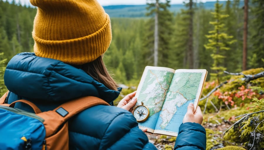
Mastering navigation in Ontario’s backcountry doesn’t happen overnight, but with these practical exercises, you’ll build confidence before your big adventure. Start in your local park or conservation area with these progressive steps:
1. Map Familiarization Exercise
Begin by spreading out your topographic map of the area. Practice identifying basic features like lakes, rivers, and elevation lines. Try to match what you see on the map with your surroundings. This helps develop your map-reading intuition.
2. Compass Bearings Game
Set up a simple course using trees or landmarks. Take a bearing from your starting point to your target, then walk it out. Practice this in different weather conditions and times of day to build real-world experience.
3. Natural Navigation Practice
Spend time observing the sun’s position throughout the day. Notice how moss tends to grow on the north side of trees (though this isn’t always reliable). Look for the North Star at night – it’s a faithful guide in clear conditions.
4. Route Planning Challenge
Pick a destination within your practice area and plan three different routes to reach it. Consider factors like elevation changes, water crossings, and potential obstacles. This exercises your route-finding decision-making skills.
5. GPS Backup Training
While learning traditional navigation, practice using your GPS or smartphone app as a backup. Set waypoints at your starting position and other significant locations, then try finding your way back using only the device.
Pro tip: Create a small navigation kit with a whistle, compass, and waterproof map for these practice sessions. This helps build muscle memory for accessing your tools quickly when you need them in the backcountry.
Remember to start simple and gradually increase complexity as your confidence grows. Practice these exercises regularly, and you’ll be ready to tackle Ontario’s wilderness with confidence.
Emergency Navigation Scenarios
Even experienced backcountry campers can face emergency navigation challenges in Ontario’s wilderness. Here’s how to handle common scenarios you might encounter:
If you get lost, remember the STOP principle: Stop, Think, Observe, and Plan. Stay where you are and avoid panicking. This is where wilderness survival techniques become crucial. Check your map and compass, identify prominent landmarks, and try to retrace your steps to your last known location.
When bad weather hits and visibility becomes poor, find a safe spot to wait it out. Use your compass rather than relying on visual navigation, and if possible, follow obvious features like rivers or ridgelines that can lead you back to civilization.
If your compass breaks or gets lost, nature provides several navigation aids. During the day, use the sun’s position (it rises in the east and sets in the west). At night, locate the North Star by finding the Big Dipper constellation. Moss often (but not always) grows on the north side of trees in Ontario’s forests.
Maintaining mental resilience is key during navigation emergencies. Always carry a whistle for signaling (three short blasts indicate distress), and remember that most trails in Ontario eventually lead to a road or settlement. If truly lost, stay put and make yourself visible to search parties.
Pro tip: Before any backcountry trip, always leave your detailed route plan with someone reliable and stick to your planned timeline.
Embarking on a backcountry camping adventure in Ontario is an unforgettable experience that connects you with some of Canada’s most pristine wilderness. As you plan your journey, remember that successful navigation requires both preparation and respect for the environment. Keep your maps and compass readily available, and always have a backup power source for any electronic devices you’re bringing along.
Stay mindful of Leave No Trace principles as you explore Ontario’s backcountry. Pack out what you pack in, minimize your impact on vegetation, and maintain a safe distance from wildlife. The beauty of these remote areas lies in their untouched nature – let’s keep them that way for future adventurers.
Whether you’re paddling through Algonquin’s countless lakes, hiking the rugged trails of Killarney, or discovering the hidden gems of the French River, remember that safety should always be your top priority. Share your trip plans with trusted friends or family, check weather conditions regularly, and trust your instincts when making decisions in the wilderness.
The backcountry offers a unique opportunity to disconnect from the digital world and reconnect with nature. Embrace the solitude, listen to the call of loons across misty morning lakes, and take time to appreciate the small wonders around you. With proper preparation and a respectful approach to navigation, your Ontario backcountry experience will be both safe and deeply rewarding.


+ There are no comments
Add yours