
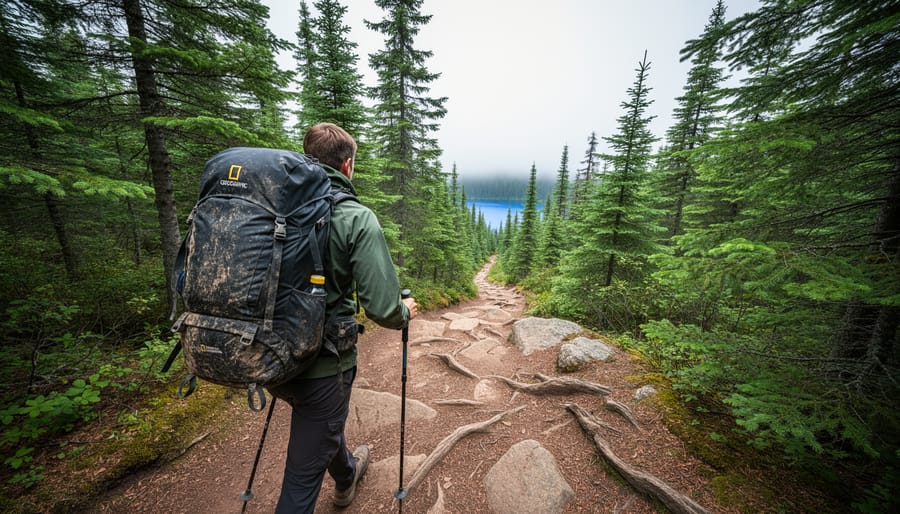
Ontario’s long-distance backpacking trails range from the iconic 900 km Bruce Trail spanning the entire Niagara Escarpment to challenging wilderness loops like Killarney’s 100 km La Cloche Silhouette Trail. Whether you’re planning your first multi-day trek or searching for your next backcountry challenge, the province offers eight exceptional routes that deliver everything from lakeside coastal hikes to rugged highland adventures, each with distinct terrain, difficulty levels, and scenery that’ll shape your experience on the trail.
The beauty of planning a long-distance hike in Ontario is the sheer variety. You can tackle sections of the Rideau Trail as it winds 387 km from Kingston to Ottawa, passing through charming small towns where you’ll grab supplies and a hot meal before heading back into the forest. Or you might prefer the solitude of Lake Superior’s Coastal Trail, where 65 km of rugged shoreline means you won’t see another soul for days.
I’ve learned through years of hiking these trails that distance alone doesn’t tell the full story. The Voyageur Hiking Trail covers just 32 km, but its rocky lakeside terrain and backcountry campsites deliver a wilderness experience that rivals much longer routes. Meanwhile, the 500 km Ganaraska Trail offers easier day-hike sections perfect for weekend warriors based near the GTA who want to build their skills before committing to a full thru-hike.
This guide breaks down Ontario’s top long-distance trails with the practical details you need: total distance, terrain type, difficulty ratings, and what makes each route special. You’ll find insider tips on permits, water sources, and the best times to hike, plus eco-friendly practices to protect these incredible landscapes for future adventurers.
What Makes a Great Long Distance Trail
Choosing the right long-distance backpacking trail can make or break your wilderness experience. Not every route that stretches across the map deserves a spot on your must-hike list. I’ve evaluated Ontario’s trails against specific standards to ensure each recommendation offers genuine adventure value for multi-day treks.
Here’s what separates exceptional long distance backpacking trails from ordinary paths:
- Minimum distance of 50 km to qualify as a true long-distance route worthy of multi-day planning
- Well-maintained trail markers and clear route definition to minimize navigational stress
- Diverse scenery that shifts between ecosystems, elevation zones, or landscape types
- Reliable water sources for refilling throughout the journey
- Designated backcountry camping areas or suitable wild camping zones
- A range of difficulty levels allowing both challenging sections and recovery stretches
- Reasonable access points for resupply or emergency exits if needed
Beyond these fundamentals, the eight trails featured here each bring something distinctive to the table. Some offer iconic Canadian Shield geology, while others trace historic waterways or connect vibrant communities. A few demand serious backcountry skills; others welcome ambitious beginners. What they share is the capacity to transform a weekend warrior into a seasoned trail veteran, one satisfying kilometre at a time.
1. Bruce Trail: Ontario’s Epic 900 km Journey
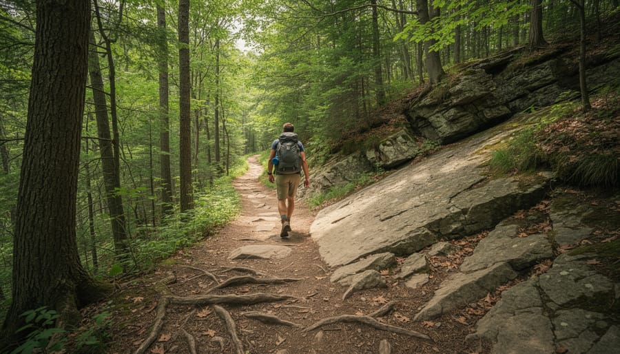
The Bruce Trail earns its reputation as Canada’s oldest and longest marked footpath, winding 900 kilometres from Queenston Heights near Niagara Falls to the rugged tip of the Bruce Peninsula in Tobermory. Established in 1967, this National Historic Trail showcases the best of the Niagara Escarpment’s limestone cliffs, ancient cedar forests, and sweeping Georgian Bay vistas.
What makes the Bruce special isn’t just its length, it’s the sheer variety packed into those kilometres. You’ll traverse everything from gentle forest paths near Hamilton to scrambles over exposed rock faces in the Blue Mountains. The northern sections near Lion’s Head feature some of Ontario’s most dramatic scenery, where white cliffs plunge into turquoise waters below. In spring, the escarpment comes alive with wildflowers and cascading waterfalls fed by snowmelt.
Most backpackers tackle the Bruce in sections rather than attempting a thru-hike. The trail divides naturally into nine distinct sections, each taking three to five days to complete. Popular starting points include the Beaver Valley for challenging terrain, or the Sydenham section if you want easier terrain to build confidence. Weekend warriors often hit the Dundas Peak area, though crowds there can diminish the wilderness feel.
Here’s an insider tip: skip the peak summer months. June brings black flies that can make exposed ridgetop camping miserable, while August weekend campsites fill quickly. Late September through early October delivers cooler temperatures, stunning fall colours, and lighter trail traffic, though you’ll need a warmer sleeping bag.
Accommodation along the Bruce mixes designated campsites, Bruce Trail Club properties, and occasional town stops where you can resupply. Water sources vary by section, so carry a filter and plan ahead. The trail’s blazing system uses white rectangles, making navigation straightforward even for first-timers. Just remember: the Bruce rewards preparation with unforgettable Canadian Shield scenery that rivals anything in the province.
2. Voyageur Hiking Trail: A 32 km Coastal Wilderness Experience
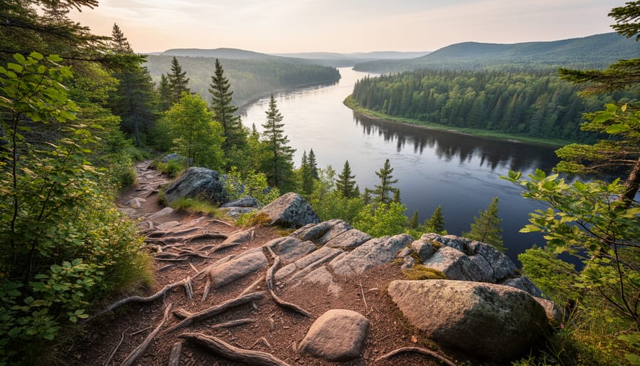
The Voyageur Hiking Trail delivers a genuine wilderness experience along 32 kilometres of river-carved landscape near Mattawa. This point-to-point route traces the historic fur trade corridor where French-Canadian voyageurs once paddled massive freight canoes between Montreal and the Great Lakes, making it one of Ontario’s most historically rich long distance backpacking trails.
Named after these legendary paddlers, the trail hugs the Ottawa and Mattawa Rivers through Samuel de Champlain Provincial Park. You’ll encounter dramatic rock faces rising directly from the water, dense mixed forests, and riverside campsites that voyageurs themselves might have used 300 years ago. The terrain shifts constantly, smooth granite slabs give way to rooty climbs, then open to sweeping river panoramas.
Don’t underestimate this trail’s difficulty. The Canadian Shield geology creates relentless elevation changes, with steep ascents and descents that challenge even experienced backpackers. Some sections require scrambling over boulders and exposed bedrock. Spring runoff and recent rains can make the trail slippery and muddy, particularly on downhill stretches.
The trade-off for that effort? Stunning riverside views at nearly every turn. You’ll pass Explorer’s Point, where interpretive signs explain the voyageur legacy, and reach campsites positioned for sunrise views over the water. Wildlife sightings are common, moose, black bears, and beavers all frequent the riverbanks.
Plan for two days minimum to complete the full trail, though strong hikers can push through in one long day. The route requires a shuttle or car drop-off since it doesn’t loop back. Prime season runs May through October, with September offering the best combination of stable weather, fewer bugs, and brilliant foliage reflected in the river’s surface.
3. Rideau Trail: A 387 km Urban-to-Rural Adventure
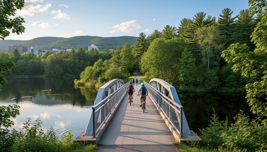
The Rideau Trail stretches 387 kilometres from Kingston’s waterfront to Ottawa’s Parliament Hill, offering one of Ontario’s most accessible long distance backpacking experiences. Unlike remote wilderness routes, this trail weaves through a patchwork of forests, farmland, and small towns, making it ideal for hikers who appreciate civilization within reach while still craving backcountry solitude.
What sets the Rideau apart is its blend of natural beauty and Canadian heritage. You’ll trace portions of the historic Rideau Canal system, a UNESCO World Heritage Site, and pass through landscapes that shaped early settlement patterns. The trail crosses hardwood forests, skirts wetlands, and follows rocky ridges that offer surprising elevation for a route through Southern Ontario. Expect frequent encounters with the region’s agricultural heritage, stone fences, century barns, and maple groves that blaze orange in October.
The flexibility here is a major draw. The trail’s 23 sections range from easy 10-kilometre day hikes to challenging 25-kilometre stretches, letting you customize your journey. Many sections lie close to roads and towns, so you can arrange vehicle shuttles, resupply easily, or bail out if weather turns. This makes the Rideau perfect for testing your backpacking legs before committing to more isolated routes.
Trail conditions vary considerably. Some sections follow well-maintained footpaths through provincial forests, while others cross private land where markers can be sparse. Spring mud is common, and summer heat on exposed farm stretches can be brutal. Fall offers cooler temperatures and spectacular colour, though you’ll share popular sections with day hikers.
Permits aren’t required, but securing camping spots requires planning. Designated backcountry sites exist on some sections, while others rely on agreements with landowners or nearby campgrounds.
4. La Cloche Silhouette Trail: Killarney’s 100 km White Quartzite Loop
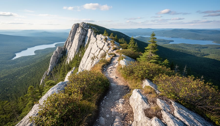
The La Cloche Silhouette Trail demands respect. This 100-kilometre loop through Killarney Provincial Park ranks among Ontario’s most challenging backcountry experiences, rewarding seasoned hikers with landscapes so striking they inspired the Group of Seven painters. Expect to spend 7-10 days navigating the white quartzite ridges that glow pink at sunrise and the impossibly blue lakes that seem lifted from the Canadian Shield’s blueprint.
What makes this trail spectacular is the quartzite. You’ll scramble over these ancient white ridges that contrast sharply with dark pine forests and turquoise waters below. The elevation gain exceeds 2,000 metres cumulatively, with steep climbs rewarding you with panoramic views across the La Cloche mountain range. One moment you’re following shoreline trails past Georgian Bay’s crystal waters, the next you’re navigating rocky ridges where cairns guide the way through exposed terrain.
The trail’s remoteness adds to both its beauty and challenge. You won’t find comfort stations or easy resupply points. Most hikers complete the loop counter-clockwise starting from George Lake campground, tackling the toughest sections first while legs are fresh. Campsites are designated and spaced strategically, but they fill quickly during peak season.
Weather can shift dramatically. I’ve watched sunny mornings turn into afternoon thunderstorms that make those quartzite ridges dangerously slippery. Pack layers, bring rain gear that actually works, and build extra days into your itinerary for weather delays or simply to soak in the scenery at Killarney’s backcountry sites.
The best window runs mid-June through September, with July and August bringing crowds alongside more stable weather. Shoulder season offers solitude but demands flexibility when autumn storms roll in off Georgian Bay.
5. Ganaraska Hiking Trail: A 500 km Forest Haven Near the GTA
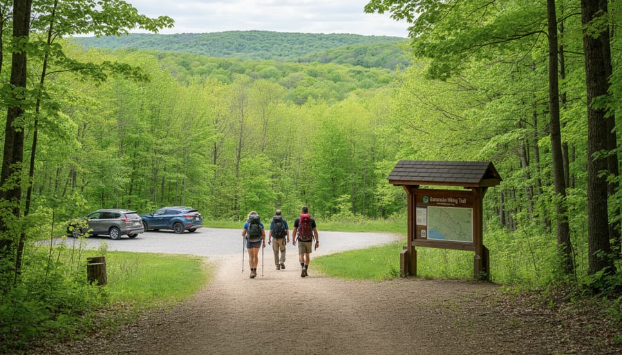
Stretching 500 km from Port Hope on Lake Ontario northward to the Kawartha Lakes region, the Ganaraska Hiking Trail stands out as the most accessible long-distance wilderness experience for hikers based in the Greater Toronto Area. You can reach multiple trailheads in under two hours from downtown Toronto, making it perfect for weekend backpacking trips without the drive time commitment of more remote routes.
The trail weaves through an impressive variety of ecosystems that belie its proximity to urban centres. You’ll traverse dense hardwood forests dominated by maple and oak, cross rushing streams in deep ravines, climb drumlin hills offering panoramic views of farmland, and navigate evergreen stands that feel genuinely remote. The Ganaraska Forest itself, a 44-square-kilometre conservation area the trail passes through, represents one of southern Ontario’s largest reforestation successes and provides some of the trail’s most secluded stretches.
Fall transforms this trail into a colour spectacle. Late September through mid-October brings peak foliage, with the hardwood canopy erupting in reds, oranges, and golds. The rolling terrain creates natural viewpoints where you can see waves of colour extending to the horizon. Many hikers time their trips specifically for autumn, though spring offers wildflower displays and rushing water crossings.
The trail’s segmented nature makes it exceptionally flexible for trip planning. Well-marked sections range from 15 to 40 km, allowing you to design two-day, three-day, or week-long adventures based on your schedule and fitness level. The southern sections near Port Hope tend to be gentler with more road crossings, while northern segments grow progressively wilder and more challenging. Camping options include designated backcountry sites and several conservation areas with facilities, giving you choices between rugged and semi-serviced experiences.
6. Waterfront Trail: 1,600 km of Great Lakes Shoreline
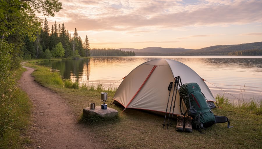
The Waterfront Trail spans an impressive 1,600 km along Ontario’s Great Lakes shoreline, making it the province’s longest continuous trail system. While designed as a multi-use path accommodating cyclists and walkers, specific sections offer excellent backpacking opportunities for those seeking a different kind of long-distance experience.
Unlike traditional wilderness trails, the Waterfront Trail blends natural beauty with cultural discovery. You’ll traverse beaches, wetlands, and forested sections while connecting historic towns, lighthouses, and lakeside parks. The eastern sections between Kingston and Prince Edward County feature particularly scenic stretches where Lake Ontario’s shoreline provides dramatic sunset views and opportunities for wild camping (where permitted).
The trail’s infrastructure makes it surprisingly backpacker-friendly in certain segments. Numerous provincial parks, conservation areas, and municipal campgrounds dot the route at reasonable intervals, eliminating the need to carry a week’s worth of supplies. Between Oshawa and Scarborough Bluffs, you’ll find several established sites within a day’s walk of each other.
For a true multi-day adventure, consider the 80 km stretch from Port Hope to Presqu’ile Provincial Park. This section balances natural shoreline with small-town charm, offering both backcountry camping and the option to resupply in coastal communities. The trail passes through diverse ecosystems including marshlands that attract migrating birds, particularly spectacular during spring and fall migrations.
The Lake Erie portions, especially around Long Point, present more remote backpacking conditions with extensive beaches and less development. Pack extra water capacity here, as freshwater sources become scarce along sandy stretches. The Waterfront Trail proves that long-distance backpacking doesn’t always mean deep wilderness, sometimes the journey along civilization’s edge offers its own rewards.
7. Highland Backpacking Trail: Algonquin’s 88 km Wilderness Loop
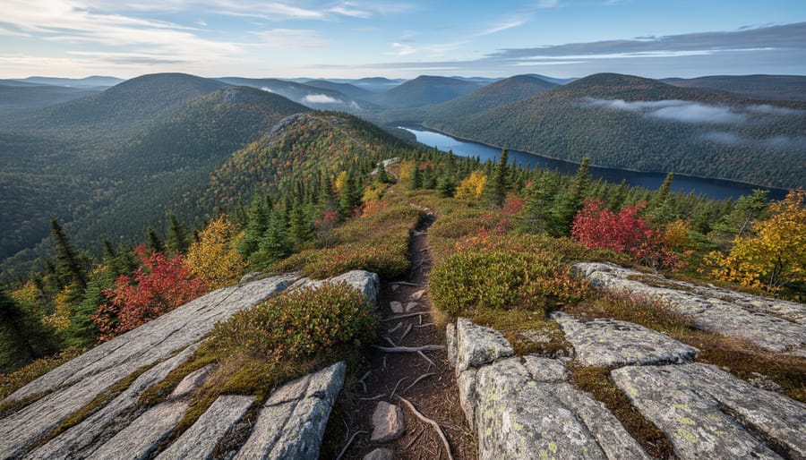
For backpackers seeking genuine wilderness solitude away from Algonquin’s busy canoe routes, the Highland Backpacking Trail delivers an 88-kilometer journey through the park’s most remote terrain. This loop trail climbs through mature hardwood forests, crosses beaver meadows, and navigates rugged ridgelines that few visitors ever see.
The trail’s elevation changes distinguish it from flatter Ontario routes. You’ll gain and lose hundreds of meters as you traverse rocky outcrops and descend into secluded valleys. The highland section between Provoking Lake and Harness Lake offers the most dramatic topography, with steep climbs rewarded by sweeping forest canopy views.
Wildlife encounters happen frequently here. Moose browse in wetlands at dawn, black bears forage along berry-laden ridges in late summer, and the howl of wolves often punctuates evening stillness at backcountry campsites. I’ve spotted river otters playing in Head Lake and watched a great blue heron fish in shallow marsh waters, moments of connection impossible to replicate on day hikes.
The trail maintains designated campsites spaced roughly 10 kilometers apart, each with a privy, bear pole, and tent pads. Advance reservations are mandatory through Ontario Parks, and permits sell out quickly for July and August weekends. Spring (late May to June) brings blackflies but spectacular wildflowers, while September offers bug-free hiking and brilliant fall colours without the crowds.
Water sources appear regularly, but you’ll need a filter or purification system. The trail intersects several small lakes and streams, though some sections require careful planning during dry summers. Expect 5-7 days to complete the full loop at a comfortable pace, allowing time to simply sit and absorb the backcountry quiet that makes this trail special.
8. Coastal Trail: Lake Superior’s 65 km Rugged Beauty
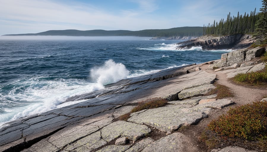
The Coastal Trail in Pukaskwa National Park delivers one of Ontario’s most remote and challenging long distance backpacking experiences. Stretching 65 kilometres along Lake Superior’s wild northeastern shore between Hattie Cove and the North Swallow River, this trail immerses you in true wilderness where you’re more likely to encounter black bears and moose than other hikers.
What sets this trail apart is its dramatic contrast between the world’s largest freshwater lake and the rugged Canadian Shield. You’ll navigate rocky headlands, descend to isolated cobblestone beaches, cross suspended bridges over roaring rivers, and camp on sites where waves crash just metres from your tent. The route demands solid backcountry skills, expect challenging rock scrambles, river crossings, and weather that can shift from calm to ferocious in hours.
Plan for seven to ten days to complete the full trail, though most hikers opt for the southern 38-kilometre section to White River Suspension Bridge, which takes four to five days. The terrain is relentless: minimal flat ground, constant elevation changes, and technical sections requiring both hands. Navigation can be tricky as the trail markers sometimes disappear among the boulders.
The best hiking window runs from late June through September. July and August offer the warmest conditions and most stable weather, though blackflies can be intense in early summer. September brings stunning fall colours and fewer bugs, but cooler temperatures and rougher lake conditions.
Logistics require serious planning. You must register at the park office in Hattie Cove and attend a mandatory orientation. Water is plentiful from lake and river sources but needs treatment. Food storage requires bear-proof containers. Cell service is nonexistent, and evacuation options are limited to boat or float plane.
This isn’t a beginner trail, but for experienced backpackers seeking solitude and raw Lake Superior beauty, the Coastal Trail offers an unforgettable wilderness journey.
Planning Your Long Distance Hike
Start by honestly assessing your fitness and backpacking experience. If you’re new to multi-day hiking, consider shorter sections of the Bruce Trail or Ganaraska Trail before committing to week-long expeditions. The same trail adventure planning principles apply whether you’re tackling a loop hike itinerary or a point-to-point journey.
Check permit requirements early. Parks like Killarney and Algonquin need advance reservations during peak season, and some trails like the Coastal Trail in Pukaskwa require backcountry permits. Many sections of the Bruce and Rideau trails cross private land where camping isn’t permitted, so plan your stops at designated sites or towns.
Pack your gear with Ontario’s weather in mind. A lightweight water filter is essential since most trails have reliable water sources, though you’ll want backup purification tablets. Black flies peak in May and June, while September offers cooler temperatures and stunning fall colours without the bugs.
Do I need permits for Ontario’s long distance trails?
Provincial park trails like La Cloche Silhouette and Highland Backpacking require camping permits booked through Ontario Parks. The Bruce, Rideau, and Ganaraska trails don’t need permits but have limited designated camping areas.
What’s the best season for long distance backpacking in Ontario?
Late August through early October offers ideal conditions with fewer bugs, comfortable temperatures, and spectacular fall colours. Avoid May and June unless you’re prepared for relentless black flies and mosquitoes.
Which trail is best for first-time long distance hikers?
The Ganaraska Trail’s southern sections near Port Hope provide well-maintained paths, accessible resupply points, and manageable elevation changes perfect for building multi-day experience.
Practice leave-no-trace principles rigorously. Pack out everything, use established campsites, and hang food properly in bear country (which includes most of these trails). The skills you’d use for water routes planning or multi-day paddling translate well here. If you’re crossing between hiking and paddling routes, remember those portage comfort tips for carrying heavy loads comfortably.
Ontario’s long distance backpacking trails offer something for every adventurer, from the rugged coastlines of Lake Superior to the white quartzite ridges of Killarney. Whether you tackle the iconic Bruce Trail over multiple seasons or spend a weekend exploring a section of the Highland Backpacking Trail, each route delivers its own brand of wilderness magic.
The beauty of these trails is that you don’t need to commit to the full distance right away. Start with a manageable section, test your gear, build your confidence. Many hikers find that their first multi-day trip sparks something deeper, a need to return, to push a bit further, to see what’s around the next bend.
Grab your pack, study the maps, and choose your trail. Ontario’s backcountry is waiting, and there’s no substitute for experiencing it with everything you need on your shoulders and the trail stretching out ahead.




+ There are no comments
Add yours