
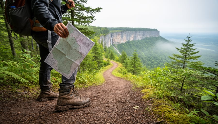
Hiking trails near Toronto are maintained pathways and routes within 1-2 hours of the city that range from flat, family-friendly boardwalks to rugged escarpment climbs with elevation gains over 100 meters. These trails give urban dwellers quick access to forests, waterfalls, lookouts, and wilderness without the need for overnight travel or advanced backcountry skills.
Why this matters right now: Toronto residents have rediscovered local trails as go-to weekend destinations, and the variety is far greater than most people realize. You can walk alongside waterfalls in the morning and be back home for lunch, or challenge yourself on rocky terrain that feels worlds away from the city. The Greater Toronto Area sits at the doorstep of the Niagara Escarpment, one of Ontario’s most dramatic landforms, which means accessible hiking here often includes limestone cliffs, ancient cedars, and panoramic views you’d expect from remote parks.
This guide breaks down the top 10 trails by skill level, from beginner routes perfect for a first outdoor outing to advanced treks that demand stamina and proper gear. You’ll learn what makes each trail unique, how to match difficulty to your experience, and insider tips on timing your visit to avoid crowds. Whether you’re new to hiking or looking to push your limits, there’s a trail near Toronto that fits. The Bruce Trail, Canada’s oldest and longest marked footpath with over 1,300 km of main and side trails connecting to the wonders of the Niagara Escarpment, anchors much of the region’s hiking culture and offers routes accessible to explorers of all ages, from the beginner-friendly Forest Side Trail and Sassafras Stroll to scenic day hikes like Nottawasaga Bluffs.
Understanding Toronto-Area Hiking: What It Really Means
When people search for hiking near Toronto, they’re usually thinking about trails within an hour or two of the city, roughly a 150-kilometre radius that takes you from Lake Ontario’s shoreline up to the Niagara Escarpment and east to the Kawartha Lakes. But distance isn’t the only thing that matters. A trail counts as accessible if you can realistically reach it, hike it, and get back home in a day without sacrificing your entire weekend to driving.
What makes this region remarkable is the sheer variety packed into that zone. You’re not limited to one type of terrain or experience. Toronto’s ravine system alone offers dozens of wooded paths right inside the city limits, where you can walk under mature hardwoods and follow creeks without ever leaving municipal boundaries. Head an hour north or west, and you’ll hit the Niagara Escarpment, a UNESCO World Biosphere Reserve where dramatic cliffs, cedar forests, and rocky lookouts define the landscape. The Bruce Trail, Canada’s oldest and longest marked footpath, connects to the wonders of the Niagara Escarpment and stretches over 900 kilometres of main trail plus more than 450 kilometres of side trails, with accessible sections for explorers of all ages scattered throughout. Push farther out, and provincial parks like Killarney offer true backcountry wilderness for those craving solitude and challenge.
- Day hike
- A hike you can complete in a single day, typically ranging from one to eight hours of walking time without overnight camping.
- Trailhead
- The designated starting point of a trail, usually marked with signage and often including parking areas or access information.
- Escarpment
- A steep slope or cliff that forms where erosion has created a sharp elevation change, like the Niagara Escarpment’s limestone ridge.
- Conservation area
- Protected land managed for recreation and environmental preservation, often featuring maintained trails, facilities, and seasonal programming.
- Marked footpath
- A trail with visible blazes, signs, or markers that guide hikers along the route and prevent them from getting lost.
In terms of terrain, expect everything from flat, groomed paths suitable for running shoes to rocky scrambles that demand hiking boots and careful footing. The ecosystems shift too: you might start in a mixed hardwood forest, cross a meadow full of wildflowers, and end up on a rocky bluff overlooking endless blue. Trail infrastructure varies widely. Some routes have boardwalks, benches, and detailed maps posted at intersections. Others are rugged, minimally marked paths where you need decent navigation skills and self-reliance.
How Trail Selection Works: Matching Routes to Your Experience
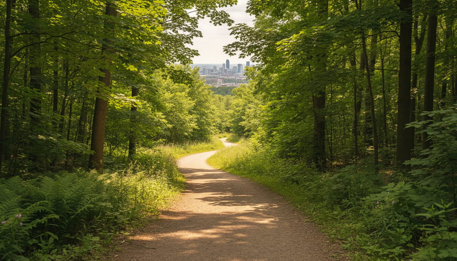
Choosing the right trail starts with honest self-assessment. If you haven’t hiked in a while or you’re new to the activity, there’s no shame in starting small, a two-kilometer loop through a conservation area teaches you how your body responds to uneven ground and helps you gauge your stamina without committing to a full-day trek.
Trail difficulty hinges on four main factors. Elevation gain matters more than distance for most people: climbing 200 meters over three kilometers will leave you more breathless than walking five flat kilometers. Terrain type comes next, smooth gravel paths demand less focus than rocky scrambles or root-tangled forest floors. Distance obviously plays a role, but paired with elevation it tells the real story. Trail marking quality can make or break a hike: well-blazed routes like those on the Bruce Trail let you relax and enjoy the scenery, while poorly marked paths force you to stop constantly and second-guess your route.
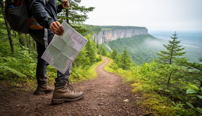
Reading a trail map takes practice but isn’t complicated. Look for the elevation profile, usually shown as a line graph along the bottom, steep climbs appear as sharp upward slopes, while flat sections run horizontal. Contour lines bunched close together on topographic maps signal steep terrain. Check the legend for symbols indicating lookouts, parking areas, and water sources.
Difficulty ratings vary by trail system, but most use beginner, intermediate, and advanced categories. Beginner trails like the accessible Pond Trail typically stay under five kilometers with minimal elevation change and clear surfaces. Intermediate routes might include sections of the Bruce Trail with moderate climbs and rockier footing. Advanced trails demand stamina, navigation skills, and comfort with exposure or backcountry conditions.
For your first hike, pick a popular trail with good cell coverage and go with a friend. Tell someone your plans and expected return time. Carry more water than you think you’ll need. Once you’ve completed a few easier hikes confidently, you can push distance or elevation, but not both at once.
Types of Hiking Trails Around Toronto
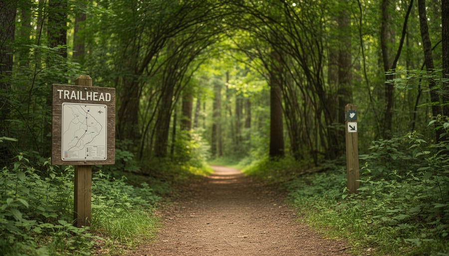
Beginner-Friendly Urban and Conservation Trails
These accessible routes prove you don’t need technical skill or peak fitness to enjoy excellent hiking near Toronto. The Forest Side Trail winds through mature hardwood forest with well-maintained paths and gentle grades, making it ideal for families with young children or anyone building stamina. The Sassafras Stroll offers similar ease while showcasing seasonal wildflowers and creek views, with benches positioned at intervals for rest breaks. The Horseshoe Trail provides a slightly longer loop option but remains beginner-friendly throughout, following clear markers and avoiding steep climbs.
For those seeking the easiest possible introduction, the accessible Pond Trail delivers a nature experience on smooth, level surfaces suitable for strollers and mobility aids. These trails typically run 2 to 5 kilometres, allowing completion in under two hours at a leisurely pace. They’re located in conservation areas with facilities like washrooms and picnic areas nearby, removing the intimidation factor of remote wilderness access. The forgiving terrain means you can focus on enjoying birdsong and forest air rather than worrying about navigation or physical limits, building confidence for eventually tackling more challenging routes.
Intermediate Escarpment and Bruce Trail Sections
The Bruce Trail stands as Canada’s oldest and longest marked footpath, winding along the Niagara Escarpment’s ancient cliffs and forests for more than 1,300 km. The system includes an over 900 km main trail plus 450 km of side trails, offering intermediate hikers countless options within a few hours of Toronto. The escarpment itself is a UNESCO World Biosphere Reserve, meaning you’ll traverse unique geology, rare fern species, and dramatic lookout points that feel worlds away from city life.
What makes Bruce Trail sections perfect for intermediate hikers is the variety. You can tackle a challenging 10 km stretch with elevation changes or pick a gentler 5 km loop on a side trail. Nottawasaga Bluffs, for instance, delivers spectacular views without requiring backcountry skills. The trail is well-marked with white blazes, and most access points near Toronto include parking areas and clear trailheads. Families with older kids and hikers ready to move beyond urban paths will find the Bruce Trail accessible yet rewarding, with enough diversity to keep you exploring for years.
Advanced Wilderness Routes
Seasoned hikers ready to push beyond groomed paths will find several demanding routes within reach of Toronto. The Bruce Trail’s northern sections, particularly multi-day segments through the Beaver Valley or Devil’s Glen, deliver steep climbs, technical rock scrambles, and extended mileage that test endurance and navigation skills. These stretches demand proper gear, self-sufficiency, and comfort with remote conditions where cell service drops and trail markers thin out.
For those craving true backcountry immersion, Killarney Provincial Park stands out as Ontario’s premier wilderness destination. Located roughly four hours north of Toronto, Killarney offers multi-day backpacking loops through pink granite ridges, crystal lakes, and dense boreal forest. The terrain is rugged, expect exposed rock faces, steep elevation changes, and weather that can shift fast. It’s a serious undertaking that rewards experienced hikers with solitude and landscapes that feel worlds away from the city.
Top 10 Hiking Trails Near Toronto: From Beginner to Advanced
Beginner Trails (1-3)
1. Forest Side Trail
This gentle loop at Earl Bales Park spans roughly 2.5 km through mixed forest and open meadow. The well-maintained path stays flat throughout, making it ideal for young children or anyone testing their hiking legs for the first time. You’ll cross a charming wooden bridge over a creek, and the trail markers are clear enough that you won’t need a map. Squirrels and songbirds provide entertainment, and benches dot the route for rest stops. Most families complete the loop in under an hour, leaving time to explore the park’s other amenities.
2. Sassafras Stroll
Tucked into a conservation area just north of the city, the Sassafras Stroll offers 3 km of easy walking through deciduous woodland. The trail surface is packed earth with minimal roots or rocks, and the elevation barely shifts. Spring wildflowers carpet the forest floor, while autumn brings a riot of reds and golds overhead. The loop design means you end where you started, and interpretive signs along the way identify native trees and plants. It’s perfect for nature photography or teaching kids about local ecosystems without the pressure of a challenging hike.
3. Horseshoe Trail
This 1.8 km loop lives up to its name with a gentle curve through a river valley. The path is wide and smooth, suitable for strollers in dry conditions, and the flat terrain makes conversation easy as you walk. You’ll follow a small stream for part of the route, and the trail passes through both shaded forest and sunny clearings. The short distance means even the youngest hikers can manage it without complaint, and the lack of steep sections removes any intimidation factor for first-timers still building confidence.
Intermediate Trails (4-7)
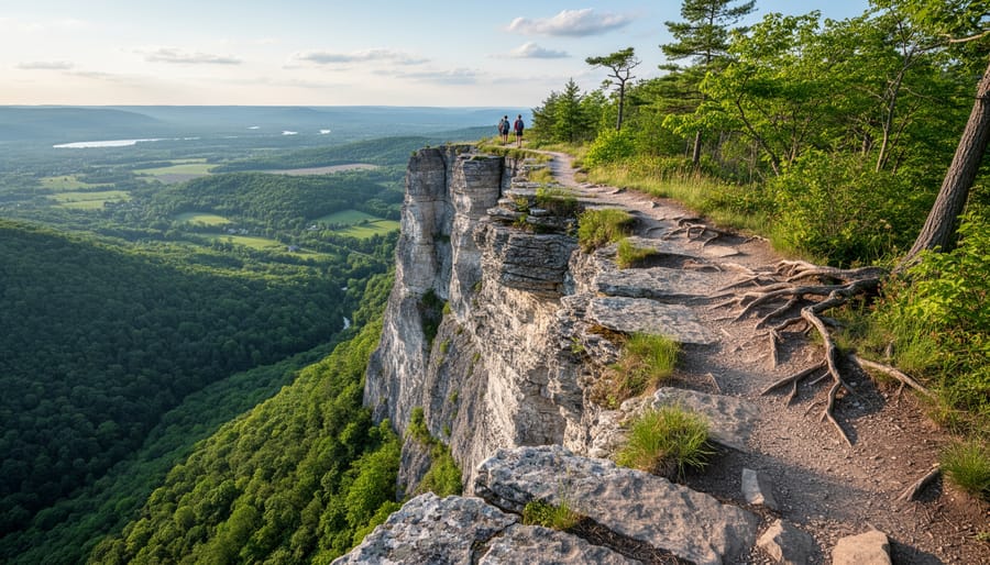
Trail 4: Nottawasaga Bluffs Section (Blue Mountains)
This scenic Bruce Trail day hike delivers panoramic views of Georgian Bay from the Niagara Escarpment’s northern reaches. The roughly 8-kilometre loop combines moderate elevation changes with exposed cliff-edge walking, rewarding intermediate hikers with some of Ontario’s most dramatic vistas. You’ll navigate rocky sections and root-crossed paths through mixed forest before emerging onto open bluffs where the landscape drops away. Spring brings wildflowers along the escarpment edge, while autumn transforms the hardwood canopy into waves of orange and gold. The trail demands sure footing and comfort with heights, but the technical challenge remains manageable for anyone who’s moved beyond groomed conservation paths.
Trail 5: Glen Haffy Conservation Area Loop (Caledon)
North of the city in the rolling Caledon Hills, this 10-kilometre loop threads through open meadows, dense hardwood forests, and stream valleys. The terrain varies constantly, gradual climbs give way to short descents, and the trail surface shifts from packed earth to grassy tracks to occasional rocky sections. What makes Glen Haffy ideal for intermediate hikers is its length rather than any single difficult feature. You’ll build endurance while experiencing genuine backcountry atmosphere without venturing far from Toronto. Wildlife sightings are common, from red-tailed hawks circling overhead to white-tailed deer browsing at forest edges.
Trail 6: Rattlesnake Point to Crawford Lake (Milton)
This 7-kilometre one-way section of the Bruce Trail connects two popular conservation areas along the escarpment edge. The route includes steady elevation gain, narrow rock passages, and exposed lookout points where the land drops sharply toward farms and forests below. Technical sections require hand-over-hand scrambling, though nothing demands climbing experience. The payoff comes in sweeping views and the diversity of environments, ancient cedar groves, cliff-top oak savannahs, and eventually the reconstructed Indigenous village at Crawford Lake. Plan for three to four hours to hike and explore both ends properly.
Trail 7: Terra Cotta Conservation Area Loop (Halton Hills)
This 6-kilometre trail combines Bruce Trail sections with conservation area paths to create a satisfying half-day outing. You’ll cross wooden bridges over Credit River tributaries, climb alongside small waterfalls, and traverse hillsides where spring ephemeral wildflowers carpet the forest floor. The elevation changes are modest but frequent enough to elevate your heart rate. What distinguishes Terra Cotta is its variety within a compact area, you experience ravine hiking, escarpment climbing, and riverside walking without committing to a marathon distance. It’s perfect for testing your readiness for longer, more remote routes.
Advanced Trails (8-10)
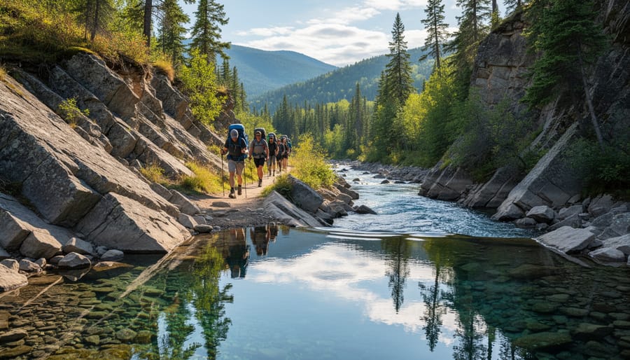
For hikers who’ve built endurance and confidence on shorter routes, these three trails deliver the full wilderness experience: sustained elevation gains, remote backcountry terrain, and distances that demand real planning and stamina.
8. Caledon Trailway to Forks of the Credit (22 km return)This extended Bruce Trail section combines rolling hills with dramatic descents into the Credit River valley. You’ll navigate rocky switchbacks, ford creek crossings, and tackle nearly 300 metres of cumulative elevation change. The payoff: limestone cliffs, waterfalls, and the sense of having truly escaped civilization despite being an hour from downtown.
9. Mono Cliffs Provincial Park Loop (15 km)Don’t let the moderate distance fool you. This route threads through the Niagara Escarpment’s most rugged features: cliff edges requiring scrambling, steep ascents over loose talus, and narrow passages between rock walls. Spring melt turns sections into boot-sucking mud. Navigation skills matter here, side trails intersect frequently, and signage is minimal in some areas.
10. Killarney Provincial Park: La Cloche Silhouette Trail (100 km backcountry loop)For serious backpackers willing to venture beyond the GTA, this iconic route delivers true wilderness. White quartzite ridges, backcountry lakes, and terrain that punishes the unprepared. You’ll need multi-day permits, bear awareness, and the fitness to haul a full pack over sustained elevation. It’s a three-hour drive from Toronto, but the raw, wild landscape feels like a different province entirely.
These aren’t Sunday strolls. Bring navigation tools, extra food, and honest self-assessment of your abilities.
Where These Trails Take You: Uses and Day Trip Planning
Toronto’s hiking trails are as varied in purpose as they are in difficulty. Whether you’re logging cardio miles on a brisk weekday morning, chasing sunrise light for nature photography along the Niagara Escarpment, or watching for migrating warblers with binoculars in hand, there’s a trail that fits. Families use shorter loops to introduce kids to the outdoors without overwhelming them, while solo hikers head to more remote stretches of the Bruce Trail for genuine wilderness escape and the mental clarity that comes with hours under the canopy.
If you’re planning a day trip, think beyond the hike itself. Spring brings wildflowers and rushing waterfalls but muddy conditions, so pack waterproof boots and expect slower going. Summer offers long daylight and lush greenery, though you’ll want bug spray and extra water. Fall is peak season, the colour show draws crowds, so arrive early or choose less-travelled side trails. Winter transforms familiar routes into quiet, snowy sanctuaries, but requires traction aids and insulated layers.
Combine your hike with other regional draws to make a full day of it. Many trails near conservation areas have picnic spots, interpretive centres, or rental equipment for paddling. The towns along the escarpment, Caledon, Milton, Halton Hills, offer farm-to-table restaurants and craft breweries perfect for a post-hike meal. In winter, some parks near hiking trails also maintain cross-country ski routes or skating loops. Check trail websites or local tourism boards before you go to confirm conditions and discover what else is nearby.
What to Know Before You Hit the Trail
A little homework makes the difference between a frustrating outing and a day you’ll remember. Before you drive out, check the trail’s official website or recent trip reports, conditions change quickly after storms, and what was dry yesterday might be muddy or washed out today. Trail closures happen, especially during spring runoff or after heavy rain.
Pack the basics: water, snacks, a charged phone, and a first-aid kit. Layer your clothing so you can adjust as you warm up or the weather shifts. Ontario’s spring and fall temperatures swing wildly between morning and afternoon, and even summer days cool down fast once you’re under tree cover.
Respect the trails by following Leave No Trace principles. Stay on marked paths to protect fragile ecosystems, pack out everything you bring in (yes, including orange peels and apple cores), and leave rocks, plants, and other natural features exactly where you found them. If you’re hiking with a dog, keep it leashed, wildlife needs space, and not everyone enjoys surprise encounters with off-leash pets.
Speaking of wildlife, black bears, coyotes, and rattlesnakes live in parts of the region. Make noise on the trail so you don’t startle animals, and review animal encounter tips before heading into more remote areas. Give wildlife distance and never feed them.
Finally, practice basic trail etiquette: yield to uphill hikers, step aside for faster groups, and keep voices down so everyone can enjoy the sounds of the forest. Leave the Bluetooth speaker at home.
Common Questions About Hiking Near Toronto
When you’re new to the Toronto hiking scene, you probably have plenty of practical questions about where to start, what to expect, and how to prepare. Here are answers to the most common concerns based on what hikers actually want to know.
Which trails are best for complete beginners near Toronto?
The Forest Side Trail, Sassafras Stroll, Horseshoe Trail, and accessible Pond Trail are all excellent starting points. These routes offer gentle terrain, clear markings, and shorter distances that won’t overwhelm first-time hikers.
What makes the Bruce Trail special for day hikers?
As Canada’s oldest and longest marked footpath, the Bruce Trail connects to the wonders of the Niagara Escarpment and offers over 900 km of main trail plus 450 km of side trails. Sections like Nottawasaga Bluffs provide scenic day hikes accessible to explorers of all ages.
Can I hike in Toronto’s Don Valley?
Yes, the Don Valley offers several urban trails that provide a quick nature escape without leaving the city. These ravine trails are convenient for after-work hikes and introduce you to Toronto’s hidden green corridors.
How far should I be willing to drive for a good day hike?
Most rewarding trails sit within a 90-minute drive of downtown Toronto, giving you access to the Niagara Escarpment, provincial parks, and conservation areas while still allowing time for a full day on the trail.
Before you head out, think about what you’re actually carrying. Too many hikers show up underprepared or, conversely, hauling gear they don’t need. Our hiking gear tips break down exactly what belongs in your pack for different trail types and seasons, so you’re neither caught short nor weighed down.
Trail conditions vary throughout the year, and what works in July might be miserable in April. Spring brings mud and mosquitoes but also waterfalls at their peak flow. Summer offers long daylight hours yet can get uncomfortably hot on exposed sections. Fall delivers spectacular foliage and cooler temperatures, though trails get busier. Winter transforms routes into snowshoe territory, requiring different skills and equipment altogether.
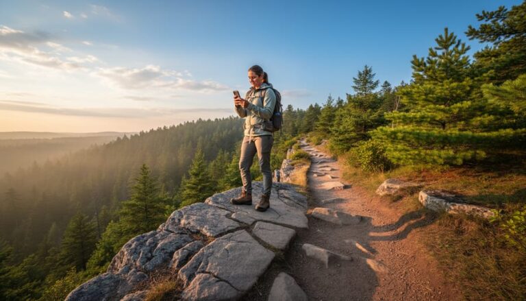
Cell service is spotty or nonexistent on many trails, especially those farther from the city core. Always tell someone your plans, including which trail you’re hiking and when you expect to return. Download offline maps before you leave, and carry a backup power bank for your phone. These simple precautions have saved countless hikers from turning a minor mishap into a genuine emergency.
Whether you’re taking your first steps on a gentle ravine trail or tackling a rugged section of the Bruce Trail, the hiking opportunities around Toronto prove you don’t need to travel far for a genuine outdoor adventure. From the accessible paths of conservation areas to the 1,300 km of trails that wind along the Niagara Escarpment, there’s a route waiting that matches exactly where you are in your hiking journey. The best part? Many of these trails sit less than an hour from the city, meaning a weekday evening hike or a spontaneous Saturday morning escape is entirely possible.
So lace up your boots, pack some water and snacks, and give yourself permission to explore. The forest is closer than you think, and it’s ready to welcome you, whether you’re chasing waterfalls, seeking quiet solitude, or simply looking to move your body through beautiful spaces. Ontario’s trails are yours to discover, one step at a time.





+ There are no comments
Add yours