Categories
Never Get Lost in Ontario’s Backcountry Again
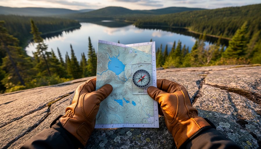
Master map and compass basics before your first trail – fold your topographic map to show your route section, orient it to magnetic north, and practice taking bearings on landmarks you can see from your trailhead. Ontario’s backcountry demands this foundational skill because cell service disappears fast, and GPS batteries die when you need them most.
Download offline maps of your specific Ontario Parks destination at least 48 hours before departure. Apps like Gaia GPS and Avenza Maps let you cache detailed topographic data, but here’s the insider tip: always verify coordinates against your paper map since digital …