

Check your local municipality’s traffic or transportation website immediately – most cities maintain real-time closure maps and digital dashboards showing which bridges are temporarily unavailable and estimated reopening dates. Download navigation apps like Google Maps or Waze that automatically reroute you around closures, saving frustration during your commute or while heading to Ontario’s beautiful parks and trails.
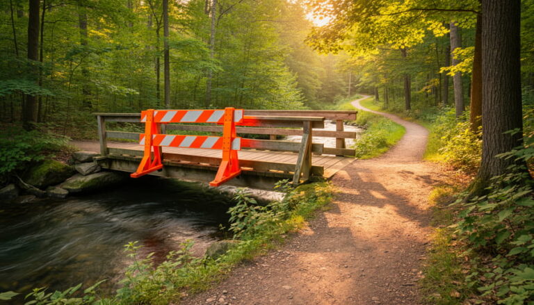
Bridge closures happen for essential reasons that keep you safe: routine inspections catch structural issues before they become dangerous, seasonal maintenance addresses weather damage from harsh Canadian winters, emergency repairs respond to unexpected problems, and construction projects upgrade aging infrastructure. While inconvenient, these temporary disruptions prevent catastrophic failures and protect communities.
Instead of viewing closures as obstacles, consider them opportunities to discover new routes through your region. That detour might lead you past a scenic conservation area you’ve never noticed, a charming local café, or a hidden trailhead worth exploring on your next outdoor adventure. Many Ontario communities have alternative river crossings within a few kilometers, and your GPS will guide you efficiently.
Stay informed by signing up for local traffic alerts through email or text notifications. Follow your municipality’s social media accounts for real-time updates, especially during storm seasons when emergency closures happen without warning. Planning ahead transforms frustration into smooth travels, whether you’re commuting to work or heading out to experience Ontario’s incredible natural spaces.
Understanding Bridge and Access Road Closures in Ontario Parks
Seasonal Closures You Can Predict
Here’s some insider knowledge that’ll save you headaches: Ontario bridges follow pretty predictable closure patterns once you know what to watch for.
Spring thaw is your first heads-up. From mid-March through early May, weight restrictions kick in on many rural bridges as frost leaves the ground. The freeze-thaw cycle wreaks havoc on bridge foundations, so you’ll often see load limits posted or even temporary closures on smaller spans. If you’re hauling equipment or driving an RV during this window, always call ahead.
Fall maintenance season runs September through November, before winter hits hard. Municipalities schedule their major bridge work during these months because the weather’s cooperative and tourist season winds down. Parks Ontario typically posts these closures months in advance, so check in late summer if you’re planning autumn adventures.
Winter brings its own challenges. Remote bridges in Northern Ontario sometimes close December through March simply because plowing them isn’t cost-effective. Ice bridges occasionally replace them, but only locals really know the safe crossing times.
Pro tip: Municipal websites usually publish annual maintenance schedules every January. Bookmark your regular routes and check quarterly. You’ll spot patterns quickly and can plan your trips around them, turning potential frustrations into smooth journeys.
Emergency and Safety-Related Closures
Sometimes bridges close without any warning, and honestly, it can throw a real wrench in your hiking or road trip plans. These emergency closures happen for everyone’s safety, though they’re admittedly frustrating when you’re eager to explore.
Mother Nature is often the culprit. Heavy spring runoff or sudden storms can wash out bridge approaches or damage supports faster than anyone anticipated. I once arrived at a favourite trail only to find the footbridge completely submerged after an overnight downpour. Park staff had just posted the closure signs that morning.
Structural concerns sometimes emerge during routine inspections too. A crack that wasn’t there last season, shifting foundations, or rotting wood on older bridges means immediate closures until engineers assess the situation. Wildlife activity can also play a surprising role. Beavers are notorious for creating flooding that undermines bridge stability, and occasionally larger animals damage wooden structures.
These closures happen without warning because the hazards develop quickly or are discovered unexpectedly. Park management prioritizes visitor safety above all else. While it’s disappointing to encounter a sudden closure, remember that staff members close bridges to protect you from potentially dangerous situations. Keep checking official park websites and social media for real-time updates, especially after severe weather events.
How to Check Before You Go (And Save Your Trip)
Official Park Websites and Advisory Pages
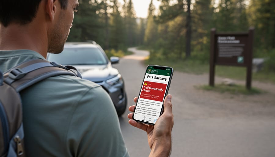
When planning your park adventure, official advisory pages are your best friend for real-time bridge closure information. Both Ontario Parks and Frontenac Provincial Park maintain dedicated advisory sections on their websites that list current trail conditions, bridge closures, and maintenance updates.
Here’s my insider tip: bookmark these pages before your trip and check them the morning you leave. Ontario Parks updates their advisories regularly, typically within 24-48 hours of discovering an issue, though emergency closures get posted immediately. During spring thaw and after major storms, check daily since conditions can change rapidly.
On these pages, look for specific trail names, estimated repair timelines, and suggested alternative routes. You’ll often find details about why a bridge closed, whether it’s scheduled maintenance, storm damage, or seasonal precautions. Some parks even include photos showing the closure extent, which helps you gauge whether a short detour exists or if you need to completely reroute your plans.
Pro eco-tip: when you discover helpful advisory information, share it with fellow hikers you meet on the trail. This community knowledge-sharing reduces unnecessary frustration and helps everyone enjoy their outdoor experience safely while respecting temporary closures that protect both visitors and sensitive park ecosystems.
Calling Ahead and Local Knowledge
Here’s my insider secret: sometimes the best bridge closure information comes from a simple phone call. I’ve saved countless trips by spending five minutes chatting with park offices before heading out. The staff who answer those phones walk those trails daily—they know if a bridge is actually impassable or just has a small detour around it.
Local outfitters are absolute goldmines of real-time intel. These folks guide trips every day and hear about closures before they hit official websites. Pop into a canoe rental shop or outdoor gear store near your destination, and you’ll often get updates that are hours fresher than online sources. Plus, they’ll usually suggest alternative routes you won’t find on any map.
Ranger stations deserve special mention. Rangers genuinely want you to have a great experience, and they’re incredibly generous with their knowledge. Call ahead and ask specific questions: “Is the suspension bridge on the Lake Trail accessible?” They’ll give you straight answers and often mention temporary closures that haven’t been widely posted yet. I’ve even had rangers text me updates when conditions changed unexpectedly. Building these connections transforms frustrating closures into opportunities for better adventures.
Social Media and Community Resources
Don’t underestimate the power of community when it comes to real-time bridge closure updates! Local hiking groups on Facebook are absolute goldmines for crowdsourced information—members often post trail conditions, detours, and closure updates before official channels catch up. I’ve saved myself countless wasted trips by checking group posts from fellow hikers who discovered closures that morning.
Park-specific Facebook pages are another insider resource. Follow pages for your favourite conservation areas and provincial parks, where rangers and regular visitors share updates about maintenance work and accessibility issues. Trail apps like AllTrails and Hiking Project also feature user comments that frequently mention recent closures or alternative routes. These community-driven platforms give you the ground truth from people who’ve just been there, helping you plan smarter and avoid disappointment at the trailhead.
What to Do When Your Route Is Closed
Quick Alternative Routes and Workarounds
When you discover a bridge closure blocking your planned route, don’t let it derail your entire adventure! Here’s my go-to strategy: pull out your park map (or digital version) and look for nearby trailheads that might offer similar experiences without crossing that troublesome bridge.
Park staff are absolute goldmines of information. I’ve learned this from countless visits across Ontario. Stop by the visitor center or ranger station and simply ask, “What’s the best alternative given the bridge closure?” They often know lesser-known access points that aren’t heavily advertised. Plus, they might share insider tips about trails that are actually less crowded and equally stunning.
Your smartphone’s GPS mapping apps can be lifesavers too. Toggle on satellite view to spot alternative parking areas or trail connections you might have missed. Look for loops that stay on one side of the water, or check if there are upstream or downstream crossings still accessible.
Don’t hesitate to chat with fellow hikers in parking lots. The outdoor community is wonderfully helpful, and someone who just finished their hike can offer real-time intel about what’s working and what’s not.
Remember, sometimes these “detours” lead to unexpected discoveries that become your new favorite spots. Stay flexible and curious!
Nearby Parks and Hidden Gems Worth Exploring
Here’s my secret: whenever I encounter a bridge closure, I treat it like the universe nudging me toward an adventure I didn’t know I needed. That detour that initially frustrated me? It led to discovering a quiet conservation area where I watched herons fish at sunset.
Keep a mental list of backup spots in your area. If your usual route to a popular park is blocked, explore smaller municipal parks or trail systems you’ve been meaning to visit. These lesser-known gems often surprise you with their tranquility and unique features. I stumbled upon a charming riverside trail in my town simply because construction forced me off my regular path.
Check out conservation areas managed by local authorities. They’re typically less crowded than major parks and offer equally stunning scenery. Many feature accessible boardwalks, picnic areas, and wildlife viewing opportunities without the hassle of packed parking lots.
Here’s an insider tip: download a trails app before your trip and mark several alternatives. When a closure happens, you’ll have options ready instead of scrambling with spotty cell service.
Bridge closures aren’t roadblocks to your outdoor plans. They’re invitations to discover hidden corners of Ontario you might otherwise overlook. Sometimes the best memories come from the unexpected turns.
Planning Smarter for Future Adventures
Building Flexible Itineraries
Here’s the secret I’ve learned after years of exploring Ontario: the best adventures happen when you stay flexible. I always plan my routes with at least two backup options now. Last summer, when a bridge closure near Killarney Provincial Park threatened to derail my camping weekend, I’d already scouted an alternative scenic route that added just twenty minutes but led us past a stunning waterside café we’d never have discovered otherwise.
Think of closures as opportunities rather than obstacles. Build extra time into your travel schedule – an additional 30-45 minutes can transform stress into spontaneity. Before heading out, I check closure updates the morning of departure and save offline maps with multiple routes marked. Keep a list of interesting stops along alternative paths: roadside markets, conservation areas, or local bakeries make detours feel like bonus experiences.
Pro tip: Join local community groups on social media where residents share real-time updates and insider shortcuts. These connections have saved me countless times and introduced me to hidden gems I’d have otherwise missed completely.
Eco-Friendly Perspective on Closures
Here’s something many visitors don’t realize: that frustrating bridge closure might actually be protecting a delicate ecosystem right beneath your feet. When trail managers close bridges and pathways, they’re often giving nature a much-needed breather to recover and thrive.
Think of closures as hitting the pause button on human activity so native plants can regenerate, erosion-prone riverbanks can stabilize, and wildlife can nest undisturbed during sensitive breeding seasons. I’ve witnessed firsthand how a temporarily closed trail in Algonquin came back to life after just one season, with wildflowers blooming where compacted soil once sat.
By respecting these closures, you’re directly contributing to habitat restoration efforts. Ontario’s parks depend on this careful balance between recreation and conservation. When we honor temporary restrictions, we ensure these beautiful spaces remain accessible for generations to come. It’s a small sacrifice that pays massive dividends for long-term trail sustainability and biodiversity. Plus, exploring alternative routes often leads to discovering hidden gems you might have otherwise missed.
Common Questions About Bridge and Road Closures
Let me tackle the questions I hear most often when bridge closures pop up on your trip radar.
How long do closures typically last?
It really depends on what’s happening. Emergency closures due to washouts or storm damage might last anywhere from a few days to several weeks while crews assess the situation. Planned maintenance closures are usually shorter – often just a few days to a week – since the work is scheduled and materials are ready to go. Major reconstruction projects can stretch into months, but parks typically provide timelines upfront. Here’s an insider tip: if you’re checking a closure notice and it doesn’t list an expected reopening date, it usually means they’re still evaluating the damage.
Are detours clearly marked?
Yes, in most cases. Ontario Parks does an excellent job posting detour signs at trailheads and along affected routes. You’ll typically see bright orange or yellow signs directing you to alternate paths. That said, it’s smart to screenshot the detour map before heading out – cell service can be spotty once you’re deep in the wilderness.
What happens if I’m already camping when a closure occurs?
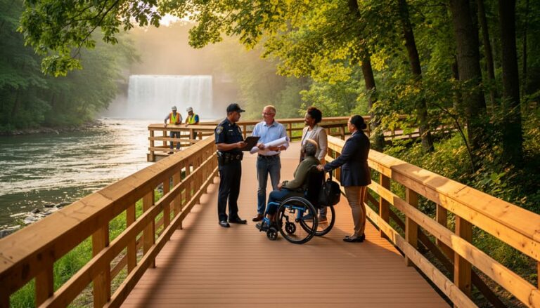
Don’t panic! Park staff will communicate with campers about unexpected closures. You won’t be stranded. They’ll provide alternative routes back to your vehicle or main facilities. In rare emergencies, they’ll even help relocate campers if necessary.
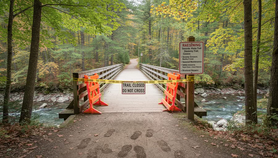
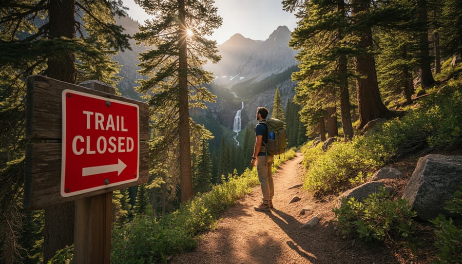
Can I hike around closed bridges?
Please don’t. Closed means closed for your safety. The bridge or surrounding area might be structurally unsound, and attempting to bypass closures puts you at serious risk. Plus, you could face fines. Instead, embrace the detour as a chance to explore somewhere new.
Bridge closures might throw a wrench in your plans, but here’s the good news: with a bit of preparation and a flexible mindset, they’re totally manageable. I’ve learned that some of my most memorable Ontario adventures happened because a closed bridge forced me down a different route. That scenic backroad I never would’ve discovered? The charming local café where I stopped for directions? Pure serendipity.
Think of closures as gentle nudges to explore something new. Check those advisories before you head out, keep a backup route in your pocket, and remember that detours often lead to unexpected treasures. Ontario’s natural beauty isn’t going anywhere, and there are countless ways to reach those stunning trails and parks you’re eager to visit. So grab your sense of adventure, stay informed, and get out there. The great outdoors is waiting for you, bridge or no bridge.


+ There are no comments
Add yours