Categories
Why Your Park Map Isn’t Showing You Real-Time Trail Closures (And What Near-Real Time Actually Means)
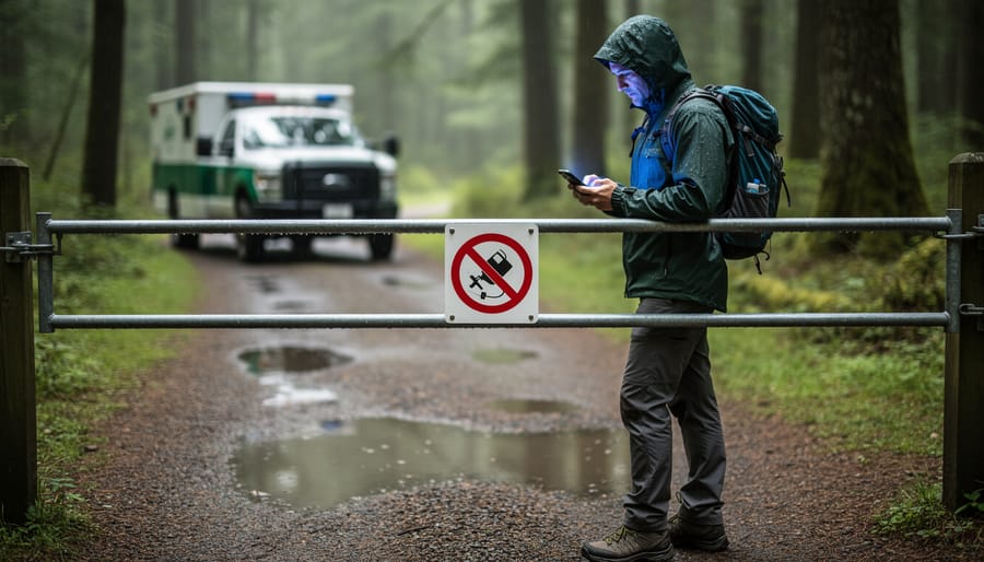
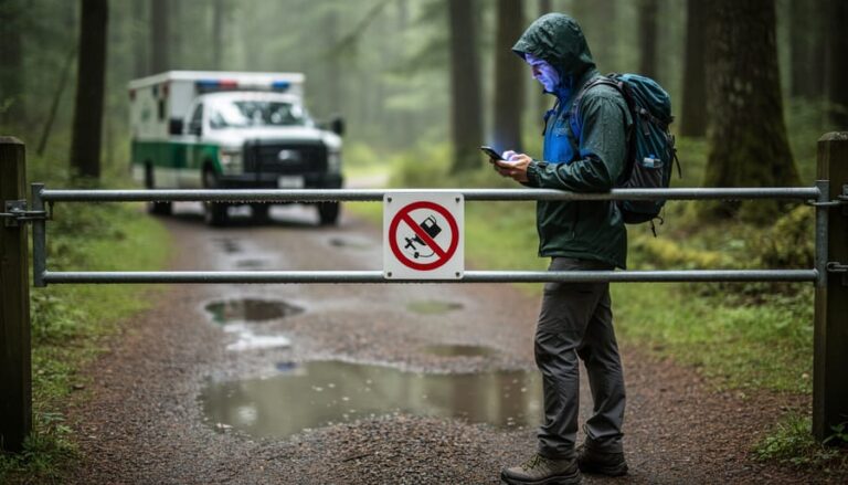
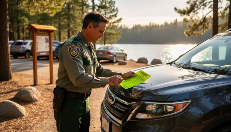
You’ve checked Ontario Parks’ closure map before hitting the road, only to arrive at a locked gate with a “Trail Closed” sign that wasn’t there online an hour ago. That frustrating scenario happens because most park closure maps operate on “near-real time”—a term that sounds instant but actually means updates can lag anywhere from 15 minutes to several hours behind actual conditions.
Near-real time isn’t true real-time. Think of it like getting weather updates every 30 minutes instead of every second. Park staff need to physically assess conditions, make closure decisions, and …